
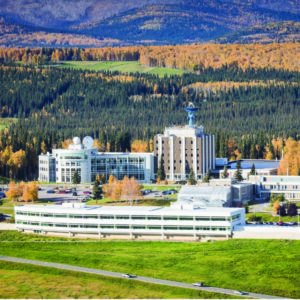
![]() The Alaska Satellite Facility (ASF) operates a network of advanced ground stations dedicated to receiving, processing, and distributing satellite data. The ground stations support a wide range of applications, from environmental monitoring and disaster response to climate research and natural resource management. ASF is at the forefront of satellite data services. We provide critical real-time data and analytics to a global community of researchers, government agencies, and commercial users. By leveraging our unique geographic position and cutting-edge technology, we ensure the reliable capture and distribution of satellite information, making it an essential asset for scientific and operational efforts worldwide.
The Alaska Satellite Facility (ASF) operates a network of advanced ground stations dedicated to receiving, processing, and distributing satellite data. The ground stations support a wide range of applications, from environmental monitoring and disaster response to climate research and natural resource management. ASF is at the forefront of satellite data services. We provide critical real-time data and analytics to a global community of researchers, government agencies, and commercial users. By leveraging our unique geographic position and cutting-edge technology, we ensure the reliable capture and distribution of satellite information, making it an essential asset for scientific and operational efforts worldwide.
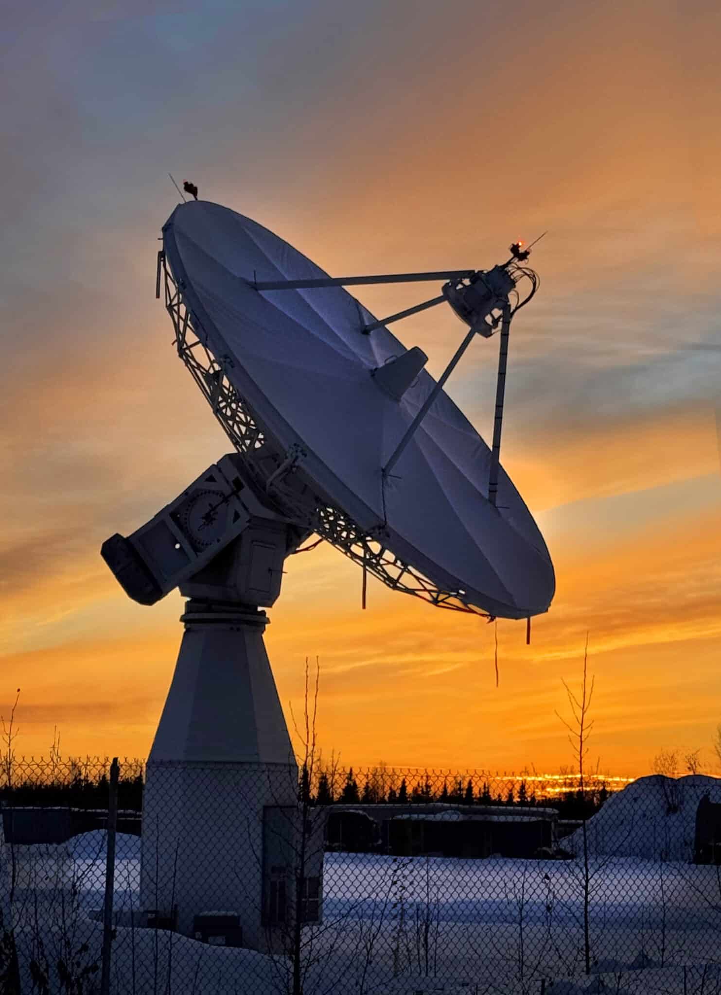
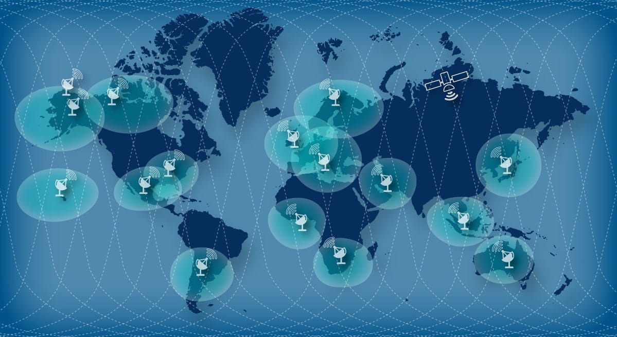
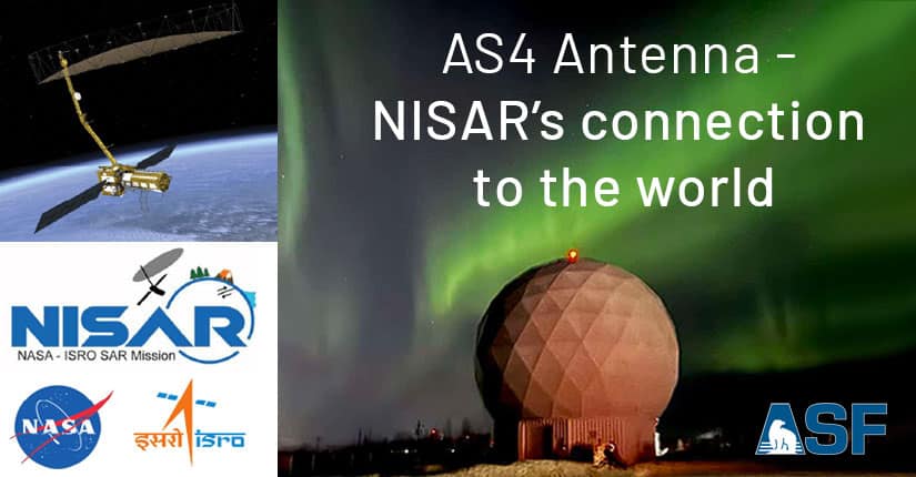
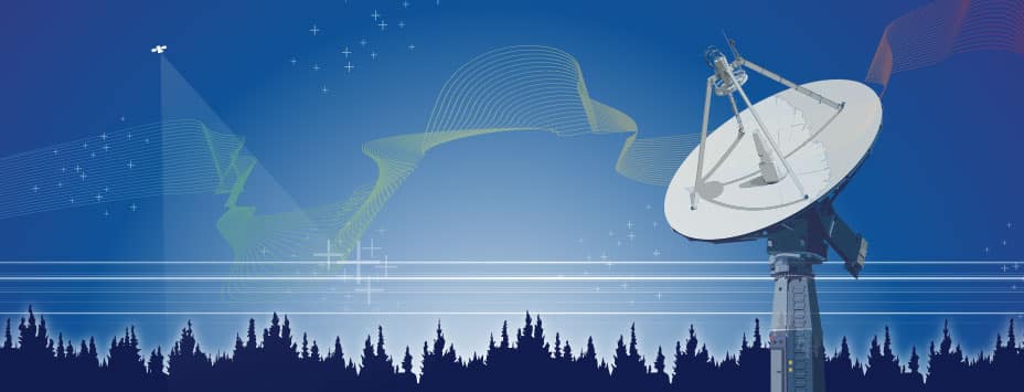
![]() ASF operates four satellite tracking and communications antennas that are part of the NSN, a global array of ground-based spacecraft-support facilities managed by the NASA Goddard Space Flight Center. Our ground station provides downlink support for transferring science data from satellites in low Earth orbit and support for telemetry, tracking, and command functions. These services are provided across multiple radio frequencies – S-band, X-band, and Ka-band – depending on the data rate requirements of a mission.
ASF operates four satellite tracking and communications antennas that are part of the NSN, a global array of ground-based spacecraft-support facilities managed by the NASA Goddard Space Flight Center. Our ground station provides downlink support for transferring science data from satellites in low Earth orbit and support for telemetry, tracking, and command functions. These services are provided across multiple radio frequencies – S-band, X-band, and Ka-band – depending on the data rate requirements of a mission.