Below is a collection of headlines, notices, and archived newsletters from the Alaska Satellite Facility’s News & Notes. View the latest newsletters below, and for training notices click here.
The ASF Sentinel-1 Burst Archive is complete!
This exciting news was recently announced by Dr. Forrest Williams, Senior Research Software Engineer, Alaska Satellite Facility:
Super excited about this work because burst-level data access will improve every workflow that uses Sentinel-1 SLC data! Read why below 👇
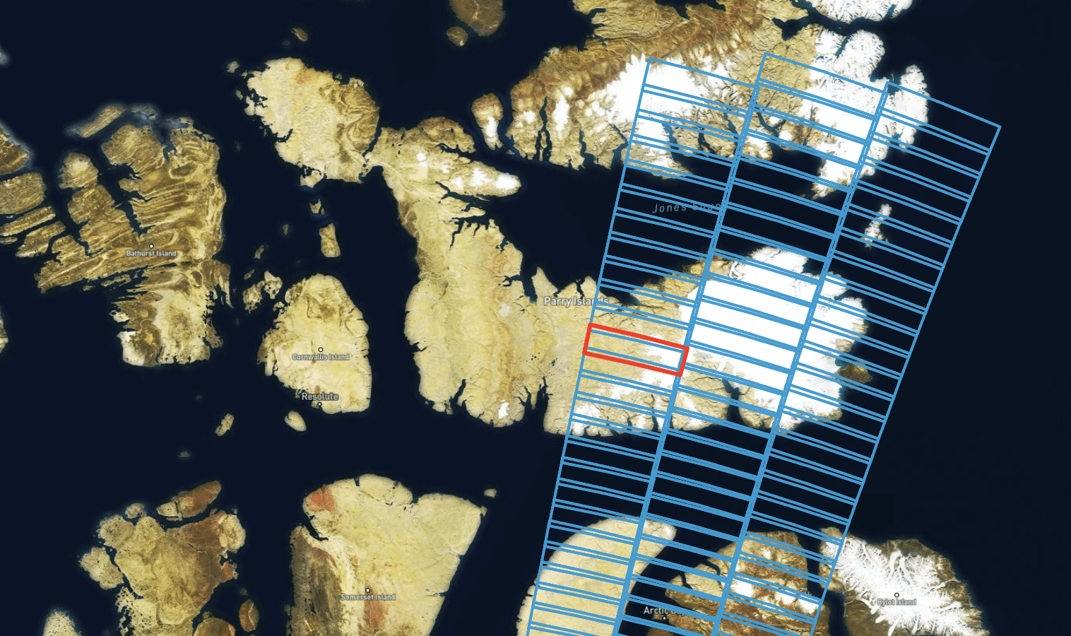
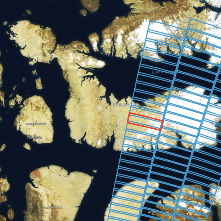
Bursts are the atomic unit of Sentinel-1 SLC data, but standard S1 SLC files contain varying sets of bursts. Incomplete overlap between SLC files covering the same region and the large size of these files make it difficult to use the data for time-series analyses – especially when looking at small features like volcanoes or landslides.
With burst access, we can fix these problems! Bursts always fully overlap so they’re great for time-series analyses and their small size (~4% of a full SLC scene) make it easy for to get just the data you need. Nothing more, nothing less.
ASF will be continually adding features to make burst data simpler to work with, so stay tuned!
https://lnkd.in/gR9hrjND
If you want to get started with bursts, check out our HyP3 Burst InSAR tool. You can use it to generate single-burst InSAR data!
https://lnkd.in/gmkJRSGG
Also, check out the Python package burst2safe. It allows you to reformat burst data as a SAFE file so that you can use the data with your favorite SAR processor. We plan to make SAFE the default format for bursts in the future!
https://lnkd.in/gNTFgPKc
