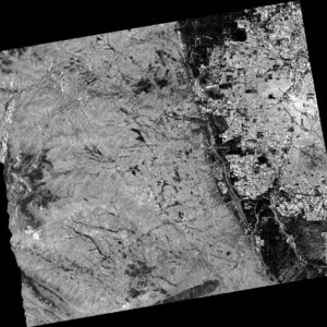
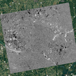
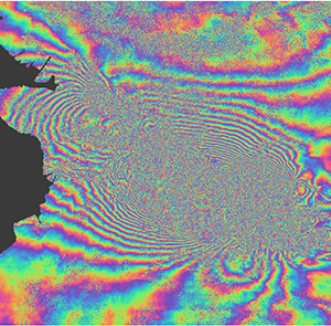
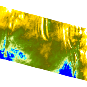
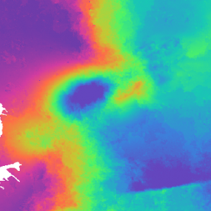
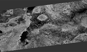
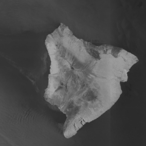
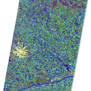
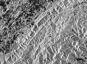
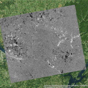
The ASF Distributed Active Archive Center (DAAC) specializes in collecting, processing, archiving, and distributing synthetic aperture radar data.
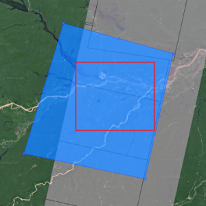
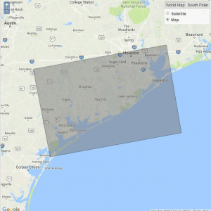
Discover SAR data fast and easy using Vertex Data Search
Find and download SAR data with just a few lines of code using the Python Search Module
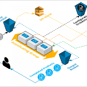
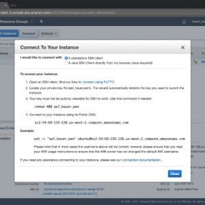
Take advantage of the power of cloud computing using ASF HyP3 custom SAR processing
Explore a new paradigm in research collaboration and teaching with OpenScienceLab
ASF is a NASA EOSDIS Distributed Active Archive Center
The ASF DAAC specializes in the collection, processing, archiving, and distribution of satellite and airborne-acquired SAR data. We continually strive to provide the fastest and most reliable data delivery possible, and are committed to developing the tools, services, and support that make SAR both more powerful and easier to use.
ASF leads the way in cloud computing and can provide the expertise to help you make the move into this exciting and virtually unlimited computing environment. ASF services such as HyP3 and OpenScienceLab can remove obstacles that can make big data processing so frustrating — important as the date for the launch of NISAR nears!
SAR Data How-To
Data Recipes help make using SAR data easier
DATA RECIPES
- ASF MapReady
- ArcGIS
- Cloud Computing
- How to Create Cloud Storage Using AWS Simple Storage Service (S3)
- How to Create a Basic Elastic Cloud Compute (EC2) Instance
- How to Move files in and out of an AWS EC2 Instance – Windows
- How to Connect to EC2 with SSH Mac OS X
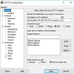
- How to Connect to your EC2 Instance using PuTTY V1.1
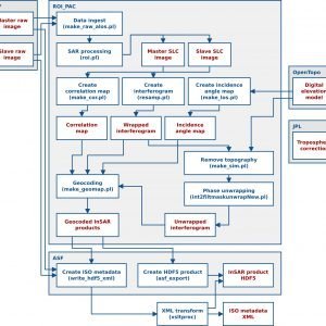
- How to Configure AWS for Running the GMT5SAR InSAR Recipe
- How to Create and Unwrap an Interferogram with GMT5SAR Script in the Cloud — Windows
- How to Create and Unwrap an Interferogram with GMT5SAR Script in the Cloud — OS X
- How to Automatically Generate a Radiometrically Terrain-Corrected (RTC) Sentinel-1 Image using Cloud Computing
- How to Create a Billing Alarm
- GAMMA
- GDAL
- GMT5SAR
- InSAR
- QGIS
- Radiometric Terrain Correction
- How to Radiometrically Terrain-Correct (RTC) Sentinel-1 Data Using the ESA Toolbox
- How to View Radiometrically Terrain-Corrected (RTC) Images in ArcGIS
- How to Radiometrically Terrain-Correct (RTC) Sentinel-1 Data Using Sentinel-1 Toolbox Script
- How to Automate a Radiometric Terrain Correction Process Chain Using a Sentinel-1 Toolbox Graph
- How to Radiometrically Terrain-Correct (RTC) Sentinel-1 Data Using GAMMA Software
- How to Automatically Generate a Radiometrically Terrain-Corrected (RTC) Sentinel-1 Image using Cloud Computing
- Sentinel-1 Toolbox
- Generating a Radiometrically Terrain Corrected (RTC) Image using the Sentinel-1 Toolbox (S1TBX) Version 8
- How to Create an Interferogram Using ESA’s Sentinel-1 Toolbox
- How to Create a DEM using Sentinel-1 Data
- How to Phase Unwrap an Interferogram
- How to Automate a Radiometric Terrain Correction Process Chain Using a Sentinel-1 Toolbox Graph
- How to Create a Subset of a Sentinel-1 Product
- How to Create an RGB Composite from Multi-Temporal Sentinel-1 Data
- How to Create Glacier Velocity Maps with Sentinel-1 Toolbox
- How to Generate a Mosaic of Two Sentinel-1 Products in Adjacent Paths
- How to Generate a Subset from the Mosaic of Two Sentinel-1 Products in the Same Swath
- How to Map Regional Inundation with Sentinel-1 using Sentinel-1 Toolbox
- How to Radiometrically Terrain-Correct (RTC) Sentinel-1 Data Using the ESA Toolbox
- How to Radiometrically Terrain-Correct (RTC) Sentinel-1 Data Using Sentinel-1 Toolbox Script