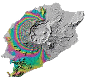
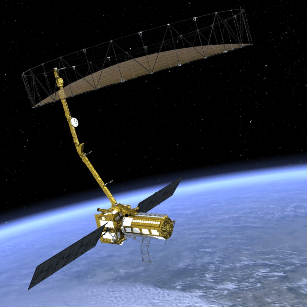
ALOS PALSAR
A JAXA (Japan Aerospace Exploration Agency) L-band satellite sensor active 2006-2011. Data coverage includes all of the Americas and many areas worldwide, with a 46-day repeat cycle.

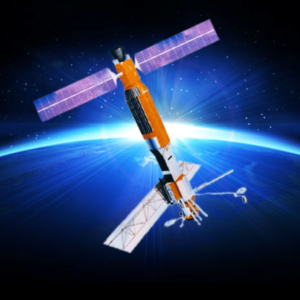
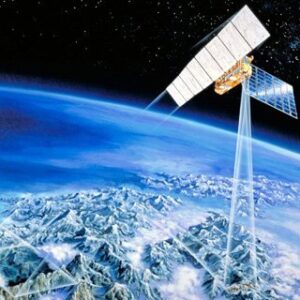
Sentinel-1
An ESA (European Space Agency) C-band satellite constellation active in 2014-present. Data coverage is worldwide, with a 6-12 day repeat cycle.

ERS-2
An ESA C-band satellite active 1995-2011. Data coverage is primarily within the ASF and McMurdo ground station masks, with a 35-day repeat cycle.
ERS-1
An ESA C-band satellite active 1991-2000. Data coverage is primarily within the ASF and McMurdo ground station masks, with a 35-day repeat cycle.

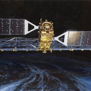
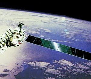
RADARSAT-1
A CSA (Canadian Space Agency) C-band satellite active 1995-2013. Data from ASF are available through 2008. Data coverage is worldwide, with a 24-day repeat cycle.


JERS-1
A JAXA L-band satellite active 1992-1998. Data coverage is worldwide, with a 44-day repeat cycle.
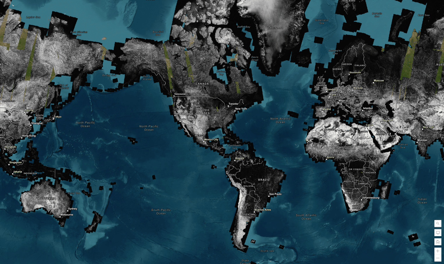
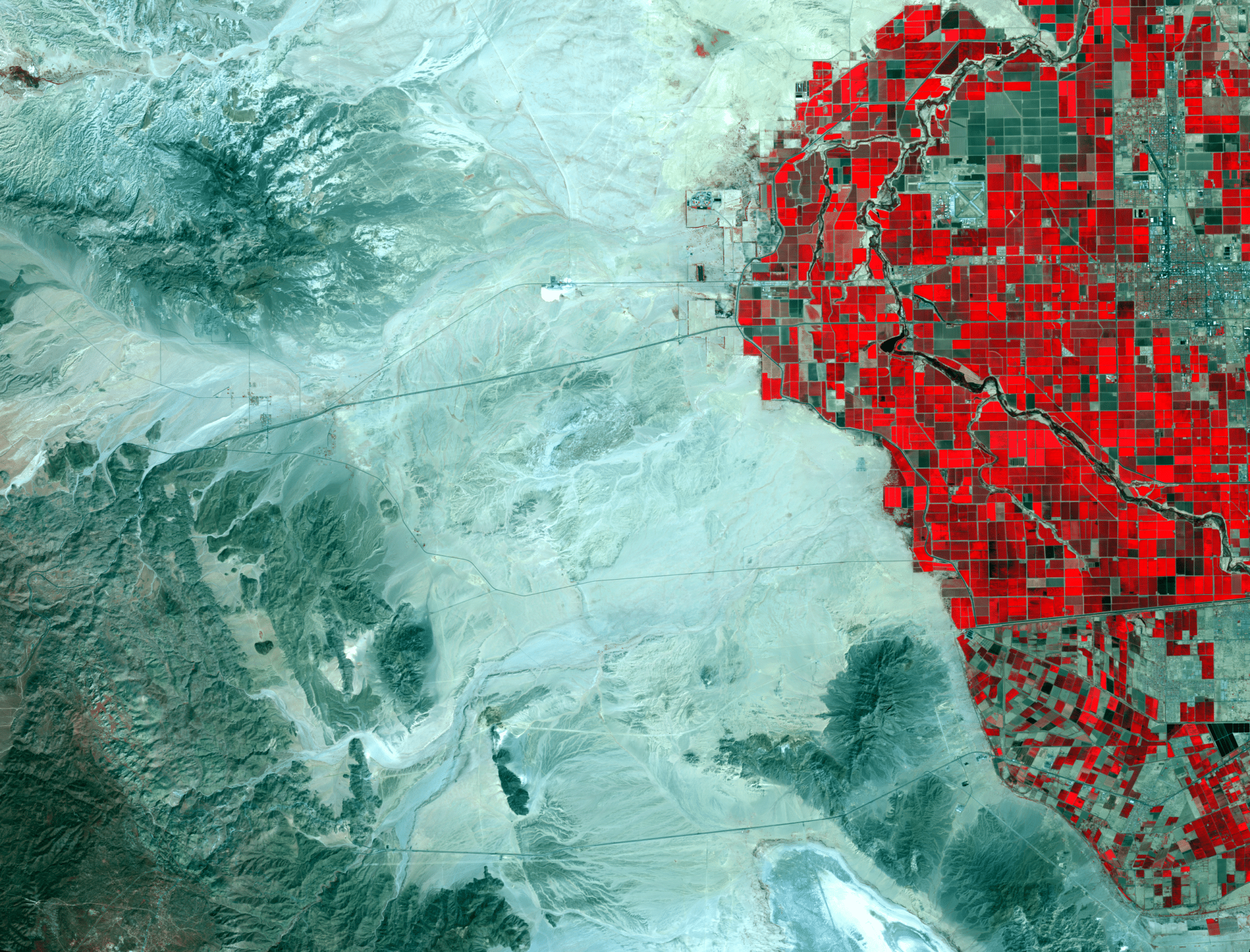
ALOS AVNIR-2
A JAXA visible and near infrared radiometer sensor active 2006-2011. Data coverage includes all of the Americas and many areas worldwide, with a 46-day repeat cycle.