

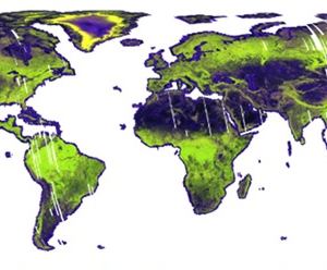
Explore the Earth like never before with Global Mosaics and Maps created from data acquired by the JERS-1 (1992-98), ALOS (2006-11), and ALOS-2 (2014-present) satellites. These free and open Synthetic Aperture Radar (SAR) datasets from JAXA are intended to help our understanding of global environmental changes, including deforestation and forest degradation.
The L-band SAR backscatter data used to produce the mosaics and maps have been radiometrically terrain corrected to remove geometric distortions and topographic effects. The mosaics are compiled from acquisition swaths, and improved processing techniques make them as seamless as possible. The maps define areas of forest/non-forest and are useful for detecting changes in forested land cover over time.
Find out more about these newly available datasets and how to download them on the Global PALSAR-2/PALSAR/JERS-1 Mosaics and Forest/Non-Forest Maps website!