
Compressed Sentinel-1 data files again available through ASF
ESA is once again providing Sentinel-1 GRD, SLC, and RAW data in compressed zipped files, and as of June 25, ...
Annual NASA Customer Survey Time!
Each year, our users have the opportunity to rate and comment on the data, tools, and services provided by us, ...
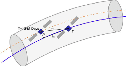
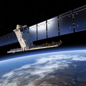
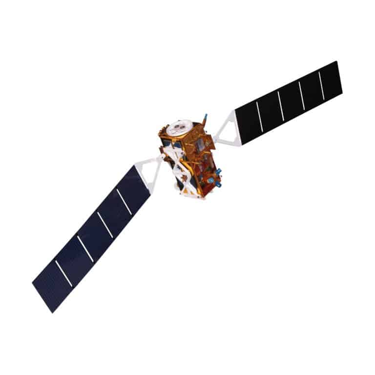
Thruster anomaly affects Sentinel-1 orbit control
An anomaly in a thruster used for Sentinel-1 orbit positioning control has resulted in the “orbit tube” diameter increasing from ...
HyP3 On Demand offers Sentinel-1 SLC burst processing
Listen to Dr. Forrest Williams of ASF announce the news at this year’s American Geophysical Union meeting!
JPL OPERA Level 2 products available from ASF
The Alaska Satellite Facility announces the availability of new data products from the Observational Products for End-Users from Remote Sensing ...
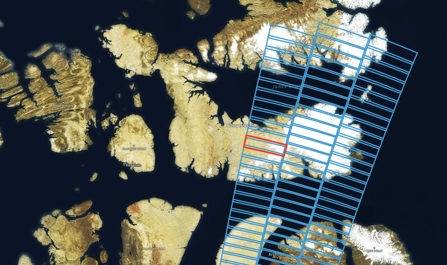
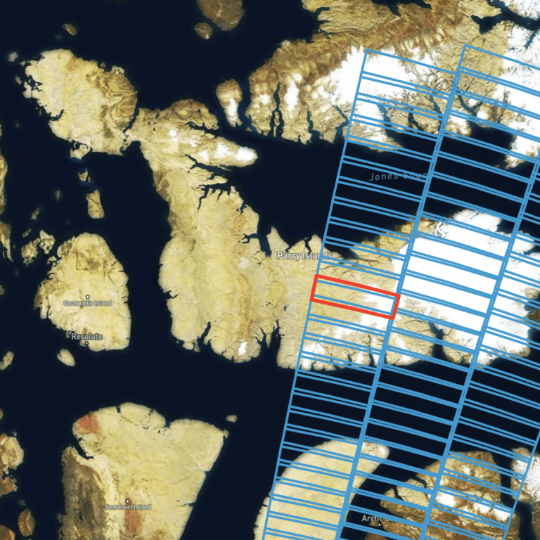
NISAR Sample Data Now Available
The NISAR project team has created sample products using JAXA ALOS-1 PALSAR data as a surrogate for NISAR. The sample ...
Sentinel-1 data file size increases
A result of the transition made by ESA to its new Copernicus Data Space Ecosystem is that Sentinel-1 data files ...
NASA announces that RADARSAT-1 data are Open Data at ASF
NASA has announced that all RADARSAT-1 data archived at the Alaska Satellite Facility Distributed Active Archive Center (ASF DAAC) are ...
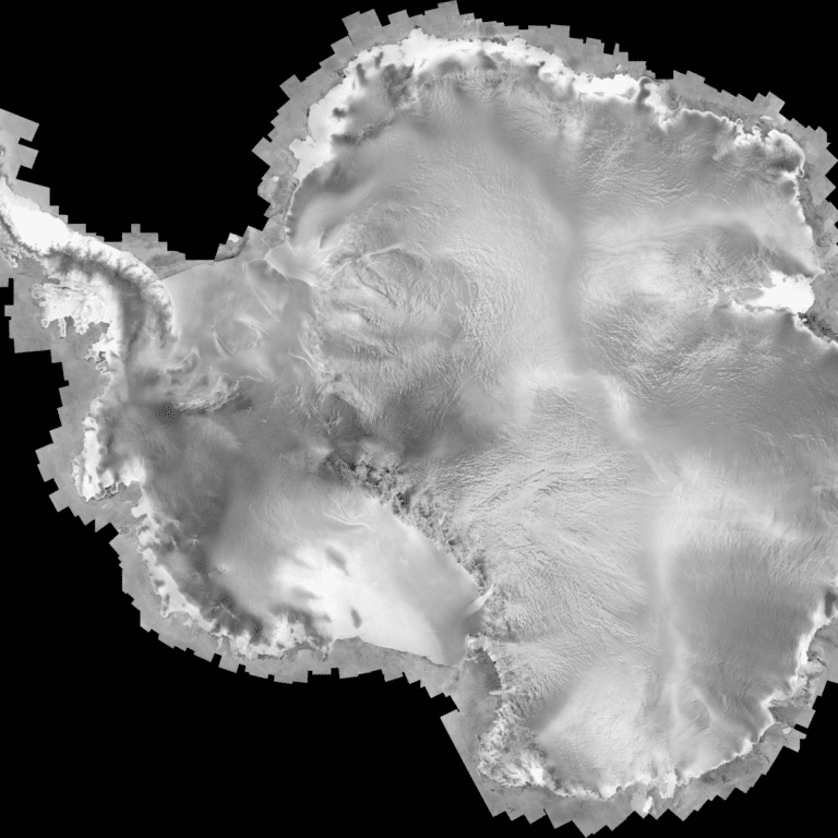
Global SAR Mosaic Datasets Available from JAXA
Explore the Earth like never before with Global Mosaics and Maps created from data acquired by the JERS-1 (1992-98), ALOS ...
ASF Receives New NASA Contract Award
The Alaska Satellite Facility was recently awarded NASA’s Earth Radar Data Operations Management contract for another 5 years. The continued ...
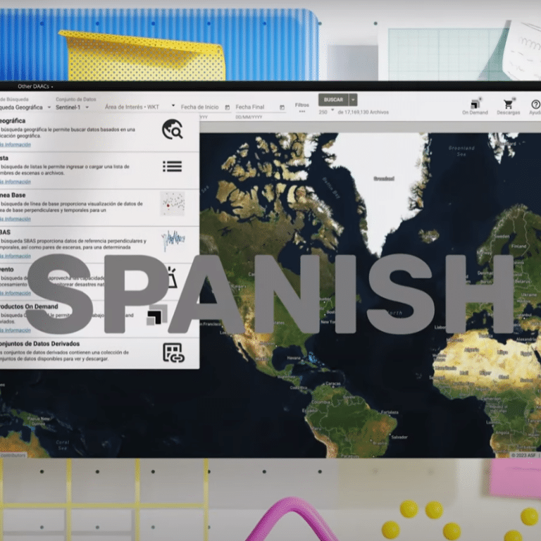
ASF Vertex Data Search is now available in Spanish!
In response to many requests from our users, the powerful Vertex search application is now available in a Spanish version. ...
ASF OpenScienceLab featured this month
The NASA Earthdata website currently highlights OpenSciecneLab (OSL) in its Data Tool in Focus section. OSL is an ASF service ...