

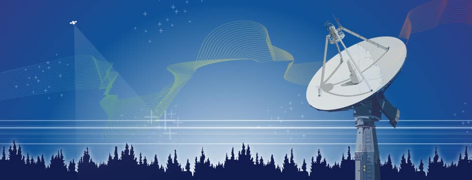
JPL uses data from ASF for the ARIA Project
The JPL/CalTech ARIA Project utilizes SAR data and GPS for detecting and measuring ground deformation and creating predictive models. Cloud-based ...
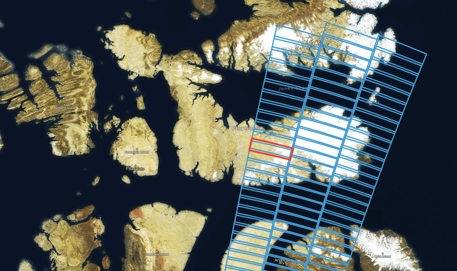
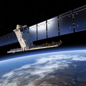
ALOS-2 PALSAR-2 data available over the Turkey/Syria earthquake region
ALOS-2 PALSAR-2 ScanSAR L1.1 (SLC, full-aperture focusing) products acquired over the area of the recent Turkey/Syria earthquakes are now freely available ...
On Demand Sentinel-1 RTC is now available at 10-m pixel spacing and in dB scale!
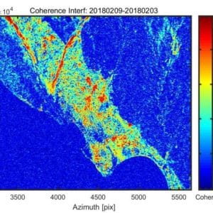
The Alaska Satellite Facility (ASF) has released new processing options for On Demand Sentinel-1 Radiometric Terrain Correction (RTC). RTC products can now be ...
Sentinel-1B satellite mission ends
The European Space Agency announced today that efforts to repair the failed C-band SAR sensor onboard the Sentinel-1B satellite have ...
ASF Science Friday series continues August 26
Monthly Lecture ASF is playing an increasing role in support of NASA’s Earth Science mission. A monthly lecture series features ...
NASA schedules second OPERA workshop
NASA and JPL will host a second OPERA project workshop on September 2, 2022. Participation is available in-person or virtually. ...
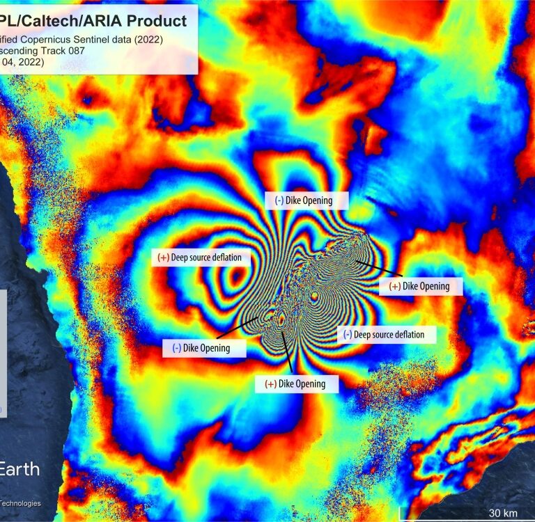
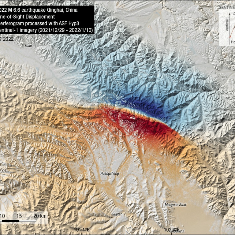
Sentinel-1 images reveal changes in the Earth’s surface over one year
A new set of satellite radar derived images provide a novel view of the face of Earth in unprecedented detail, ...
Sentinel-1 InSAR StoryMap
In honor of National GIS Day 2021, ASF published a StoryMap exploring the ASF Sentinel-1 On Demand InSAR products. The ...

Python search library now available
We are pleased to announce asf_search, a new python module available through PyPI and Conda. Greatly simplifying search and download ...
ASF Celebrates 30 Years of Operations
For 30 years, ASF has provided consistent, high-quality access to Earth observation data acquired from space and from air. From ...

Dr. Steve Bowman is profiled on the NASA Earthdata website
Dr. Bowman is the Geologic Hazards Program Manager with the Utah Geological Survey and member of the ASF DAAC User ...
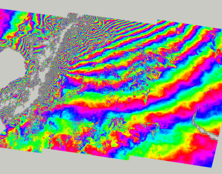
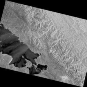
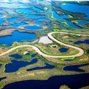
Mapping Antarctica
While limited exploration of Antarctica occurred sporadically during the first half of the twentieth century, dedicated scientific studies began with the 1957 International Geophysical Year. ...