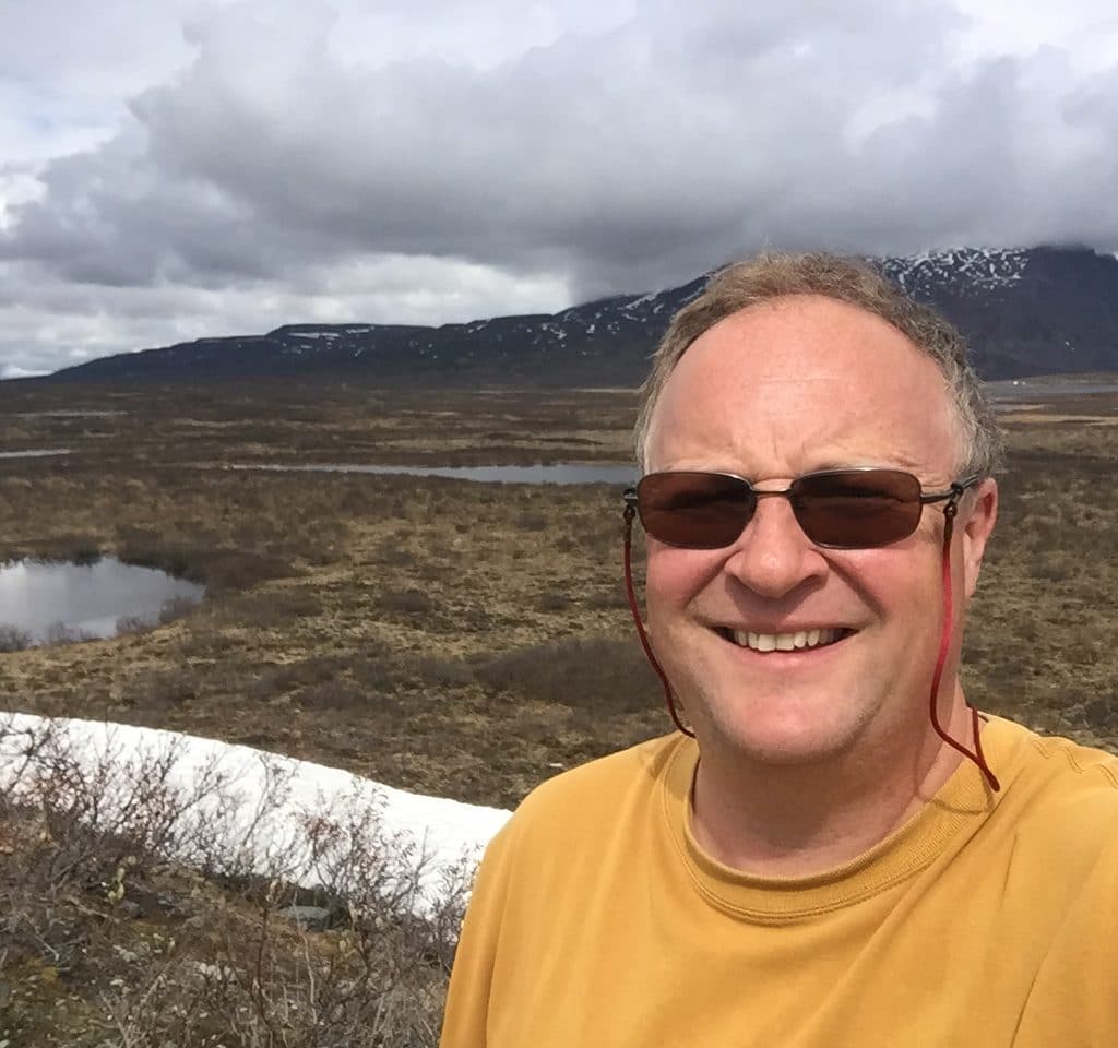
Josef Kellndorfer heartily remembers receiving computer hard drives in the mail containing the data he needed for his research in the 1990s.
Those hard drives came from the Alaska Satellite Facility (ASF), traveling the roughly 4,400 miles to Massachusetts, where he worked at the Woods Hole Research Center, now known as the Woodwell Climate Research Center. Today he is a distinguished visiting scientist at the center but maintaining a strong connection to the satellite facility.
Things have changed mightily since those hard-drive days. He now gets the data he needs from the ASF by tapping on his computer keyboard.
He has been an integral player over his years of official and unofficial connection to the ASF Distributed Active Archive Center (DAAC), which is funded by NASA and part of the University of Alaska Fairbanks Geophysical Institute. And it has shown in the sharp increase in the number of researchers acquiring the data. They tap in from around the globe.
Josef is among the people who they can thank for that.
Josef’s interest in radar remote sensing arose from his studies in geography, remote sensing, and computer science at the Ludwig-Maximilian University of Munich. He had enrolled in a class, which had just two other students, taught by Dr. Wolfgang Keydel who was head of the Radar Section at the German Aerospace Research Center DLR.
“And he instilled in me an interest in using radar for remote sensing, which was my other passion back then.”
Josef’s passion for remote sensing was instilled by his grandfather, Heinz Schmidt-Falkenberg, who was head of the Section of Photogrammetry and Remote Sensing at Germany’s Federal Ministry of the Interior’s Institute for Applied Geodesy, today known as the Federal Agency for Cartography and Geodesy.
As part of Germany’s Antarctic Research, his grandfather coordinated an ocean-ice-atmosphere science plan supporting the establishment of ESA’s receiving station for ERS-1 on the Antarctic Peninsula. The work led to his grandfather being awarded the German Medal of Honor.
With his studies in geography completed in Germany, Josef had two high-priority items next on his list: learning to speak English and deepening his knowledge of radar remote sensing. He asked his professor for a recommendation on who to learn under.
The professor suggested Fawwaz Ulaby at the University of Michigan. So with a one-year stipend from the German Academic Exchange Service, Josef headed to the United States.
“I had the great fortune to study and work with Fawwaz and the Michigan team, including many distinguished SAR researchers like Craig Dobson, Kamal Sarabandi, and Leland Pierce. That was 1994,” he said. “So I am now in the 27th year of my one-year visit to the U.S.!”
It was at the University of Michigan where Josef became exposed to the Alaska Satellite Facility, where he and others started to get their first datasets in the 1990s. He remained at the university until 2005, when he left for Woods Hole, leading projects involving remote sensing and GIS applications to map forest degradation and biomass dynamics in various Earth ecosystems.
“My projects got increasingly data-intensive from that first biomass map of the United States (Lower 48) to the pan-tropical mapping of forest with cloud-penetrating SAR data.”
•••
The story of the mailed hard drives is important because it set Josef and others on the quest for easier access to the SAR data stored at ASF.
For Josef, that increased connection to ASF began in the mid-2000s.
“I had a big project funded by several foundations — Google, Moore and Packard foundations — to do a pan-tropical mapping of basically the vegetation in the tropics, which was, back then for us, key to unlock the question of how can we monitor our tropical forests and the whole idea of bringing that into the climate negotiations on the big topic of REDD — Reducing Emissions from Deforestation and forest Degradation,” he said.
He wanted to demonstrate through the project that the tools at the time existed for such heavy data work. Those tools included the ALOS satellite of the Japan Aerospace Exploration Agency.
“But back then the computer power was such that I built my own computer cluster at the Woods Hole Research Center, now called the Woodwell Climate Research Center, and I arranged with colleagues at ASF that they would ship hard drives to me,” he said.
“So I had a shipment of hard drives of these, back then, 17,000 ALOS satellite scenes. And so I started to become a big data user with them, and as part of that I tried to use a working group at some point, and we started to discuss ‘How do we bring these datasets easier to users?’”
Josef served as chair of that group — the ASF User Working Group — in 2013 and 2014.
“And now, of course, 15 years later the picture is completely different. We no longer ship hard drives. It’s all in the cloud.”
•••
Josef formed his company, Earth’s Big Data, in 2016. His clients include such prominent entities as the World Wildlife Fund, NOAA, and NASA. And he’s quite busy.
“My focus is we need to move forward, particularly when we look at this Sentinel-1 mission that we have from Europe right now, which is a big data holding for the Alaska Satellite Facility, and then, as we move into the next NASA mission, the NISAR satellite mission where we have — where we’re thinking about science data volumes of 100 terabytes per day.
“So it all has to be a cloud-based solution, so now, my relationship is very much working with ASF on optimizing data access, and the cloud and str
