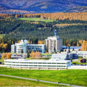
Alaska Satellite Facility
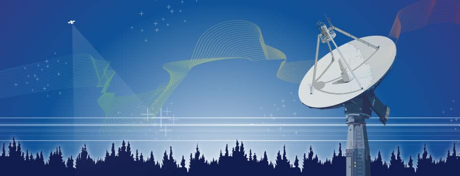
The ASF Distributed Active Archive Center (DAAC) specializes in synthetic aperture radar (SAR) data collection, processing, archiving, and distribution.
ASF SAR DAAC
This search supports advanced operators like AND, NOT & OR
Return to the home page