

Forrest Williams is a newly minted Ph.D., having successfully defended his thesis near the end of 2022 at New Zealand’s Massey University, where his focus was geology.
The topic? Large landslides in New Zealand and how satellite data can track them so that scientists can understand the causes.
Landslides are a serious problem in many parts of New Zealand. The island nation is tectonically active, is dominated by mountains and hills, has soil of volcanic origin, and has a high amount of rain that tumbles rapidly down steep rivers and contributes to ground instability.
All of that makes a combination ideal for landslides. The slipping of wet ground causes most of the landslides, but earthquakes also contribute. New Zealand’s government provides its residents with plenty of information about landslides as a regular feature of their nation’s geography.
Although New Zealand’s landscape is a bit loose, it provided a solid foundation for Forrest’s Ph.D. thesis.
Now he is involved with other scientists, including from NASA’s Jet Propulsion Laboratory, in a proposal to try to detect the signals of ground movement so small it may be just a millimeter or a millimeter and a half per year. But that movement can be a precursor to a landslide.
Forrest notes that in some instances, InSAR has been able to detect the early slow movement but that those detections are mostly made after a major slide has occurred and when scientists look back to see if there were indicators.
“We want to do this so in the future there can be some type of early warning system for lands that do start slowly moving,” he said.
What else is he working on now? He mentions an ambitious project with the Jet Propulsion Laboratory to determine the speed of every glacier on the planet.
That’s about 200,000 glaciers.
“For this project, we’re processing about 25 million image pairs,” he said.
•••
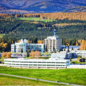
Forrest started work at the Alaska Satellite Facility in April 2022 as a software developer. He adds that he and others really like to be called “research software engineers.”
“We’re a blend of a scientist and a software engineer. We know enough science to understand what we actually need the software to do,” he said. “I translate what the scientists’ needs are and then make sure that what scientists actually need is making its way into the things we’re building.”
Living in both worlds is a challenge in which he thrives.
“Software engineers and scientists have very different backgrounds, even though they’re both STEM-type people,” he said.
Does he see himself as a geomorphologist or an engineer?
“That’s a good question. I don’t know,” he said. “So much of science now is dealing with the software and learning. How do you use the software tools that are out there in the cloud in a way to actually do good science at scale, using them to go from making a hundred of those glacier tracking images to making 25 million.”
•••
New Zealand as a doctoral student was quite a distance from his childhood years in Michigan and a higher-education path that had its first stops in nearby Minnesota and Iowa. Forrest obtained his bachelor’s degree in geology from Carleton College in Minnesota, then his master’s in environmental science from Iowa State University.
It was during his time at Carleton, though, that New Zealand first came into his life.
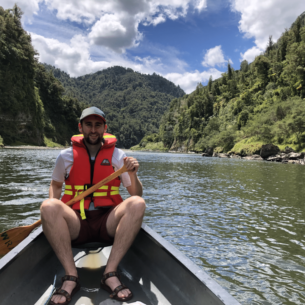
“During my undergrad, I had a chance to study abroad in New Zealand, doing a geology field program,” he said. “I was basically ranging throughout the entire country looking at rocks and sleeping in huts. And I just really fell in love with the country.”
New Zealand made another appearance in his life while finishing his master’s at Iowa State. He saw a listing for a geologist at Massey University to do a Ph.D. in the country.
He was offered the three-year position, and support from his wife, Jessie, sealed it.
“When we were trying to decide if we were going to take this gigantic leap and have me do a Ph.D. in New Zealand, I was the one who was nervous about it and didn’t know about what it would mean for us as a family,” he said.
“She was the one who said, ‘No, we’ve got to do this. This is once in a lifetime; we’ll make it work’,” he said. “None of it would have been possible without her.”
•••
Using satellite data to reveal Earth’s surface changes, whether in New Zealand or elsewhere on the globe, is a subject Forrest finds deeply fascinating.
“The thing that’s really cool about it is it’s the story about how the world we interact with ended up being the way it is,” he said.
“Once you’ve taken some time to learn a little bit of geomorphology, you can look out on the landscape, and it’s really like a book you can read,” he said. “You can see the history of how things changed and why a city ended up in a certain place versus another and things like that.”