

If you want an idea of how long Howard Zebker has been immersed professionally with satellites and satellite data, just look up the launch date of NASA’s Seasat mission.
June 28, 1978.
Seasat was one of the first Earth-observing satellites and was designed to provide data about the planet’s oceans. It was the first time that NASA sent a synthetic aperture radar into orbit.
Seasat didn’t last long, at just 105 days due to a catastrophic onboard short circuit, but its SAR system and other instrumentation provided more ocean data than had been gathered in the previous 100 years of shipboard investigations.
And it proved the value of space-borne SAR.
Howard was deeply involved in Seasat, working on algorithms for the processors that would handle Seasat’s data and helping design the optical correlator system that would make images from the data that had been downloaded from Seasat onto magnetic tape.
Yes, magnetic tape. Also, there were notebooks — of the paper sort, not of the electronic variety — that people were still using.
“I built the ground support equipment for the radar, which included moving all of the test measurements from being done by hand and written into a notebook to a computer-controlled system that could operate the test equipment and record the results,” he wrote in one email exchange for this recollection of his work and his connection to the Alaska SAR Facility, which would later become the Alaska Satellite Facility at the University of Alaska Fairbanks.
“This seems obvious and is the way things are done today, but 40-plus years ago this was one of the first times this was attempted,” he wrote.
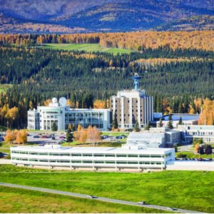
Seasat was Howard’s first project at JPL, and it got him connected with the Alaska facility, which was one of five northern hemisphere ground stations receiving Seasat data.
“So I have used data from ASF off and on for decades,” he said. “I have been on the User Working Group and continue to rely on ASF as a source of data and other computing resources and a way to interact with the community. And that continues today.”
So you see, Howard has been around a while.
Howard was born in the Southern California city of Ventura — “You know, it was nice growing up in a beach town” — and has moved a few times back and forth between the San Francisco Bay Area to the north and Pasadena, the home of JPL.
Today, more than 40 years removed from magnetic tape and notebooks, Howard is a professor of geophysics and electrical engineering at Stanford University in California, where he has been teaching since 1995.
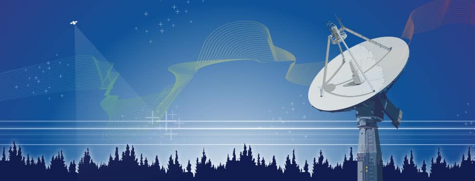
He is also head of the university’s Remote Sensing Group, where the emphasis is on interferometric synthetic aperture radar, or InSAR, which can measure changes on the Earth’s surface down to 1 centimeter from satellites orbiting more than 500 miles above the planet.
Howard is actually an InSAR pioneer.
“I started working on aspects of InSAR in the late ’70s, but mainly that work got started in a bigger way in the mid-’80s when I was at JPL,” he said. “We wrote a number of the initial papers on the method.”
Those papers included the groundbreaking 1986 article, “Topographic Mapping From Interferometric Synthetic Aperture Radar Observations,” which was based on NASA-funded research by Howard and Richard Goldstein while the pair worked at JPL. In that paper, published in the Journal of Geophysical Research, the two introduced the world to a new technique that would produce topographic maps far superior to those created through that era’s technology of using stereo pairs of radar imagery.
“We feel that the interferometric technique is a new and useful approach to the remote determination of topographic data,” the two authors concluded in their 1986 paper.
That proved to be an understatement.
Laurence Smith of the Department of Geography at the University of California, Los Angeles wrote in a 2002 review article in the Annals of the Association of American Geographers that “The past decade has seen interferometric synthetic aperture radar progress from a pioneering technology to an accepted remote-sensing tool with diverse applications in the Earth sciences.”
Smith added in that 2002 article that the previous decade “has seen significant improvements in our understanding of earthquakes, volcanoes, and glaciers as a direct result of this technology” and that it “has the potential to provide fundamentally new types of observations.”
InSAR stands out as a significant piece of work in Howard’s lengthy career.
•••
Howard’s resume, as you might gather about someone affiliated with satellites and remote sensing for so long, is robust. His appointments, honors, board and review panel memberships, and speaking engagements are many.
Consider these few — very few — items outside of his numerous roles at Stanford:
• Distinguished Visiting Scientist, NASA Jet Propulsion Laboratory (2019 – 2020)
• Certificate of Recognition for development of Differential Radar Interferometry, June, NASA (2007)
• NASA Technical Review Committee, HICP planetary missions (2004)
• Group Achievement Award, Airborne Imaging Radar System Team, NASA (1990)
• Director’s Research Achievement Award, Jet Propulsion Laboratory (1988)
• Best paper award, IEEE Geoscience and Remote Sensing Society (1988)
• NASA Certificates of Achievement: New Technology: Approaches to Modeling Polarization Characteristics of Surfaces for Radar Polarimetry,” NASA (1988-1995)
• Group Achievement Award, Shuttle Imaging Radar (SIR-A) Development Team, NASA (1982)
He is a fellow of the American Geophysical Union, the Institute of Electrical and Electronics Engineers and the Electromagnetics Academy. He has served on numerous National Academy panels, including the Space Studies Board and the Naval Studies Board Advanced Radar Technology Panel.
•••
The Alaska Satellite Facility has been a constant through much of Howard’s professional life, whether as a member of the Alaska Satellite Facility Users Working Group, of which he has been a member since 1998; as a tool for his own research, or as a means through which the next generation of remote-sensing scientists conduct their research.
“All of our students, from the very first year they’re here, they start downloading data from the satellite facility, and they run them through our codes here,” Howard said. “So we all rely on ASF for the source of all of our working data.”
“It trains students to go out an