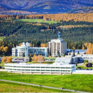


The ASF Distributed Active Archive Center (DAAC) specializes in synthetic aperture radar (SAR) data collection, processing, archiving, and distribution.
- Vertex
- Services
Services
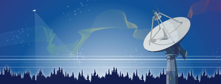
- Ground Stations
GROUND STATIONS AT ASF
- Training
- GeoData Cooperative
- About
About ASF
- Contact