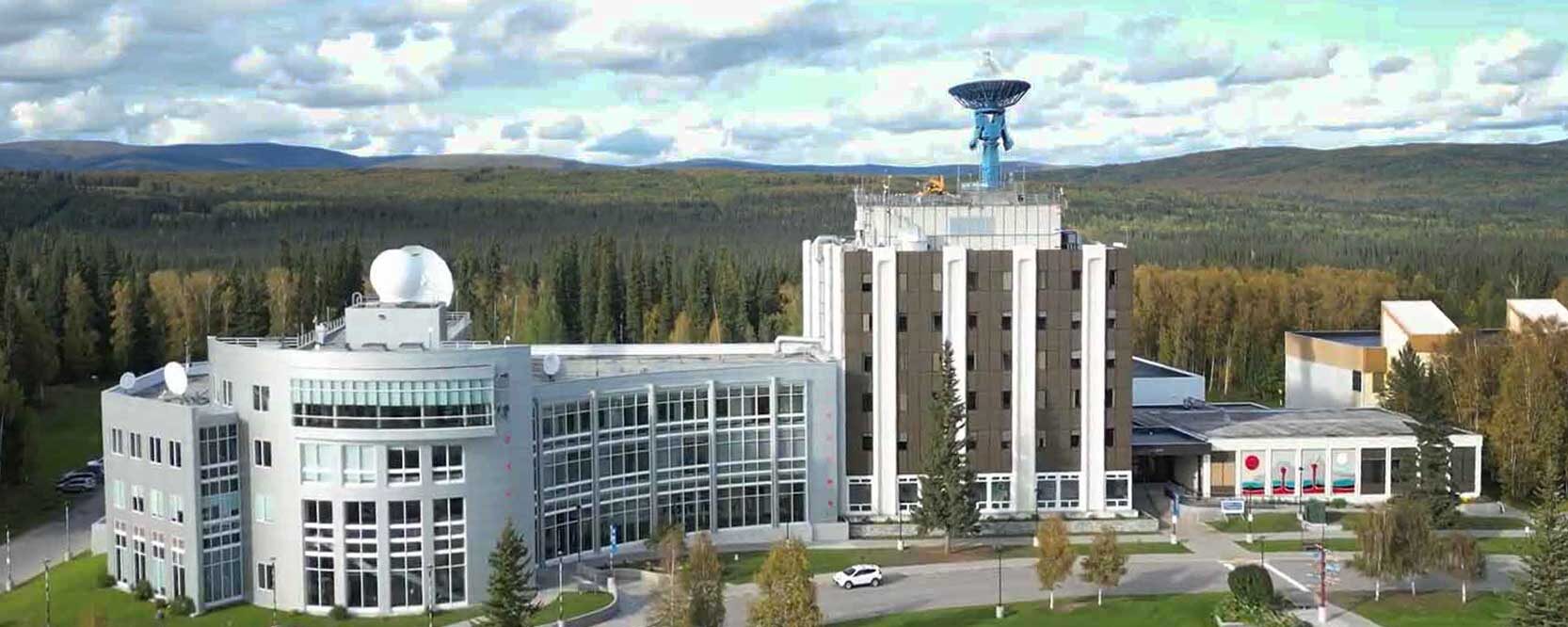
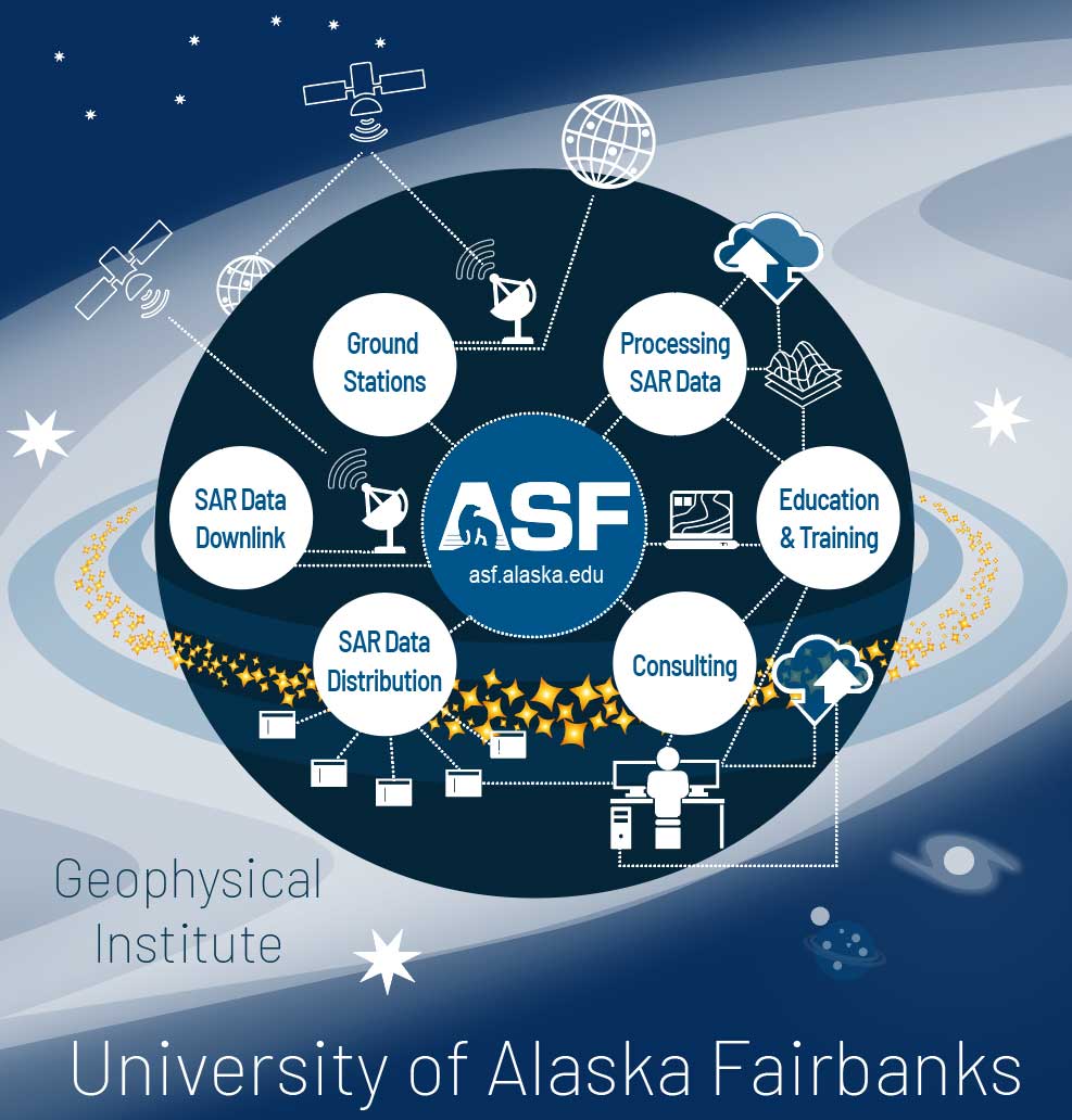
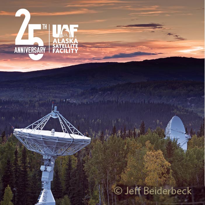
![]() The Alaska Satellite Facility (ASF), located at the Geophysical Institute (GI) of the University of Alaska Fairbanks (UAF), supports Earth science research by providing reliable access to high-quality data and tools. ASF empowers scientists, researchers, and field teams around the world to explore and better understand dynamic Earth systems through the use of Synthetic Aperture Radar (SAR) data.
The Alaska Satellite Facility (ASF), located at the Geophysical Institute (GI) of the University of Alaska Fairbanks (UAF), supports Earth science research by providing reliable access to high-quality data and tools. ASF empowers scientists, researchers, and field teams around the world to explore and better understand dynamic Earth systems through the use of Synthetic Aperture Radar (SAR) data.
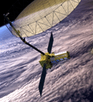
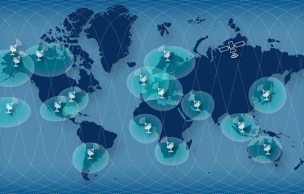
As the NASA SAR Distributed Active Archive Center (DAAC), ASF plays a key role in managing and distributing SAR data. ASF operates two ground stations in Fairbanks, one as part of the NASA Near Space Network (NSN) and the other within the Viasat Real-Time Earth (RTE) global satellite communications network; both of which are essential for acquiring satellite data used in near-real-time applications and long-term scientific research.
2025
SAR processing milestone

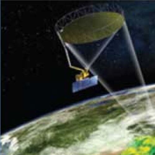
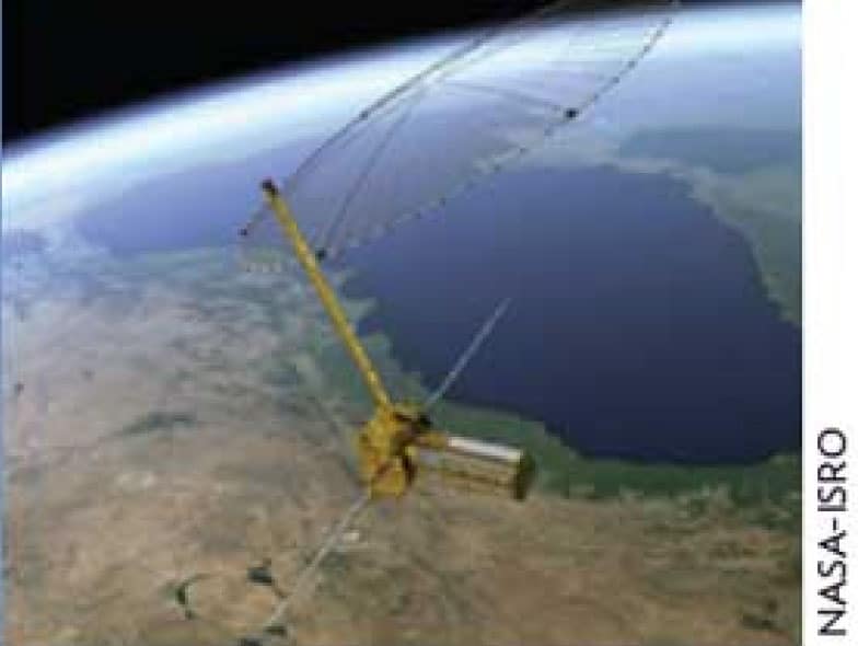
NASA/ISRO NISAR launch planned
2024
ASF joins the Viasat Real-Time Earth (RTE) satellite communications ground station network
2023
SAR processing milestone
ASF DAAC distributes OPERA data
The ASF DAAC begins distribution of global SAR data products from the JPL OPERA Project
2022
SAR processing milestone
JPL and ASF create a glacier velocity record (ITS_LIVE)
70 million satellite images of decades-long global data were processed for this dataset
2022
SAR processing milestone

HyP3 On Demand cloud processing is incorporated into Vertex Data Search
Click here to learn more about custom processing with HyP3
2021
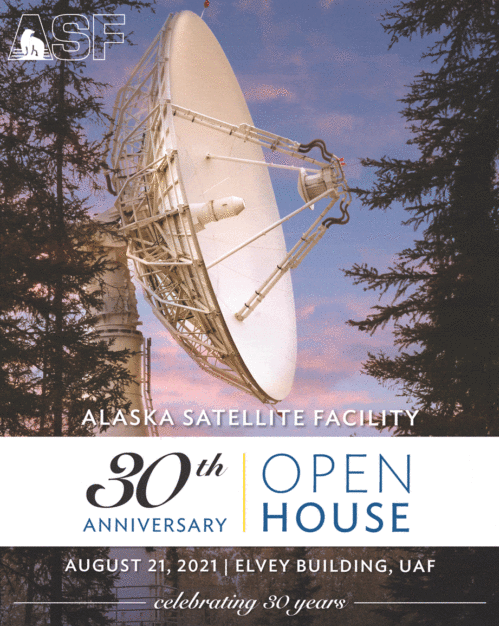
30th Anniversary
2021
Newest NASA addition
AS4 construction completed
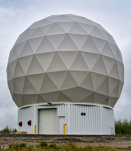
Construction of the newest NASA antenna at ASF is completed. AS4 will support the upcoming NISAR satellite mission.
2021

ASF and partners form the GeoData Cooperative
ASF together with the Department of Defense, and others partner form the GeoData Cooperative
2020
Antenna Upgrade
NASA AS1 antenna (1996) gets an upgrade to provide state-of-the-art performance
2017
Antenna upgrade
AS2 antenna replaced
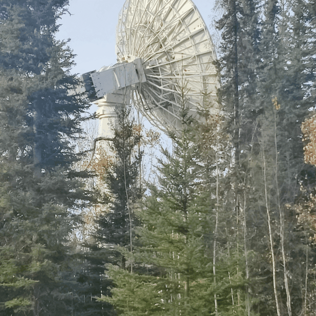
The first ASF antenna (1991), located on top of the CT Elvey Building, is upgraded in support of the NASA Near Space Network.
2016
25th Anniversary
ASF Celebrates 25 Year Anniversary
2016
Data archive expands
ASF Supports NASA SMAP Mission
ASF Ground Station supports NASA SMAP mission to study Earth's soil moisture ASF DAAC starts distributing SMAP data.
2016
Data archive expands
NASA selects ASF DAAC for NISAR data distribution
NASA selects ASF DAAC to be the distributor of SAR data from the future NASA-ISRO (India) NISAR satellite mission
2016
Data archive expands

ESA's Sentinel-1B launched
Sentinel-1B is launched to join Sentinel-1A in providing global SAR coverage. Data from both satellites are distributed from ASF.
2016
Data archive expands
Unrestricted ALOS PALSAR Data available
Japanese government makes ALOS PALSAR data unrestricted, giving international users new access to the 2006-2011 dataset archived by ASF DAAC.
2016
Data archive expands
NISAR Data
NASA announces that ASF DAAC will distribute data from NISAR, a joint U.S.-lndia satellite mission to be launched in 2023.
2015
ASF Distributing S1 Data
Sentinel 1 Data Agreement, ALOS PALSAR RTC Released, NASA Award
ASF DAAC starts distributing the entire archive of Sentinel 1A data through a historic agreement between NASA and the European Space Agency.
2015
A year of accomplishments and recognition
ALOS PALSAR RTC Dataset Released
ASF completes radiometric terrain correction of ALOS PALSAR dataset.
2015
ASF Recognized for performance
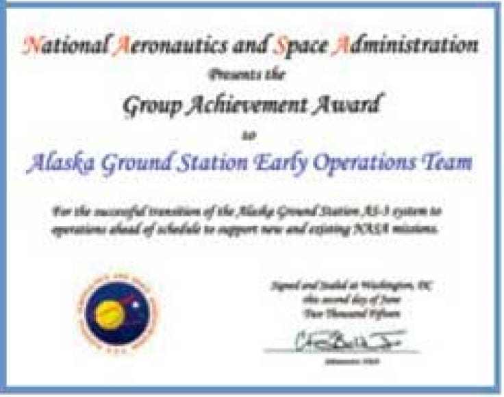
ASF receives NASA Award
The prestigious NASA award recognizes the ASF Ground Station team for making the new antenna fully operational ahead of schedule.
2014
ASF is growing
ASF Enterprise Services.
ASF Enterprise offers ground station services from university-owned antenna assets.
2014
ASF is growing
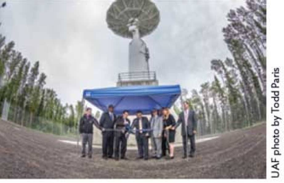
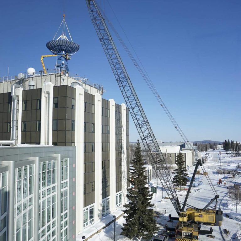
A Third Antenna at ASF
Ribbon-cutting ceremony for NASA's third antenna at ASF.
2014
ASF is growing
Data Storage Milestone
ASF DAAC data archive exceeds 1.5 petabytes, roughly equivalent to 500 Million Songs stored as MP3s.
2013
New imagery based on historic 1978 Seasat Mission
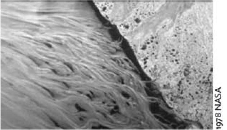
ASF DAAC Releases Never Seen Before Imagery
ASF DAAC releases newly processed imagery, much of which had never been seen before from the historic 1978 Seasat mission.
2012
ASF UAVSAR Data Availability Plays Important Role
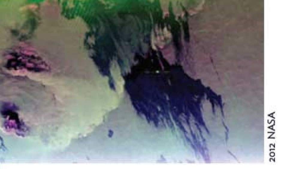
ASF Data Plays Important Role In Detection of Deepwater Horizon Oil Spill
UAVSAR data accessed through ASF DAAC played an important role in detecting the Deepwater Horizon oil spill in the Gulf of Mexico.
2011
20th Anniversary
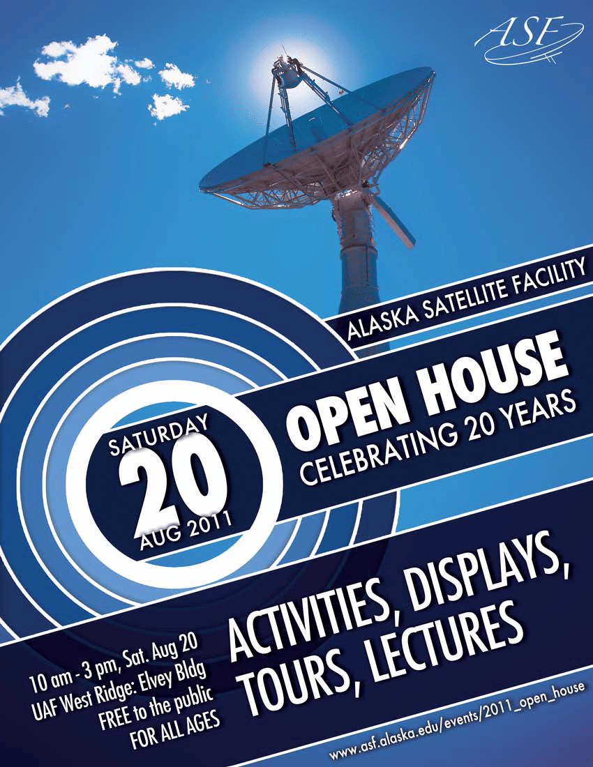
ASF Celebrates 20th Anniversary
2011
Vertex Search
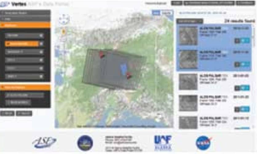
New Web Data Portal Vertex is Launched.
New web data portal Vertex enables search and discovery of downloadable data and imagery.
2010
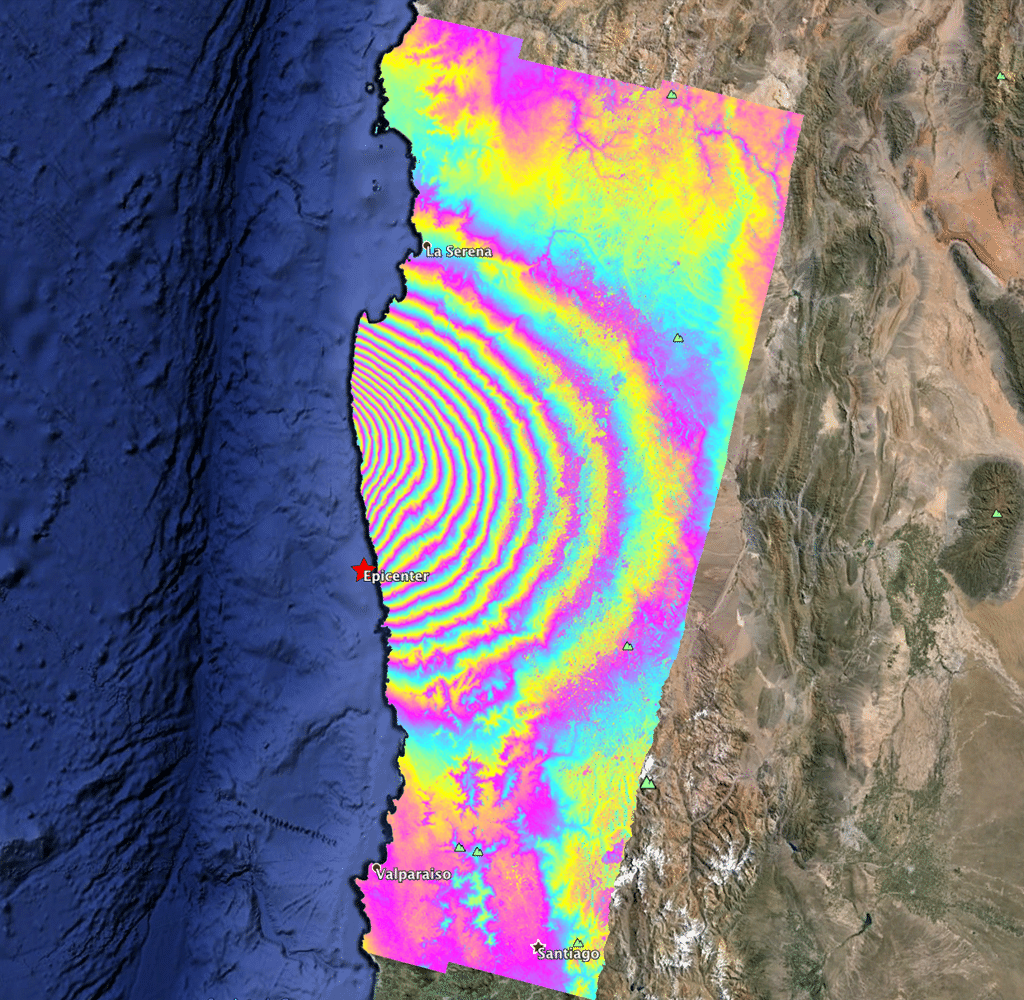
ALOS PALSAR assists with detecting fault lines

ALOS PALSAR Plays Important Role in Detecting Haitian Fault Zones
ALOSPALSAR data, which can be accessed through ASF DAAC, plays a vital role in detecting the fault zones that were in play, causing the devastating Haitian earthquake.
NASA's Tracking and Data Relay Satellite System (TDRSS) begins data acquisition for Japan's ALOS mission, the start of a historic international collaboration.
2008
AIRSAR Data Added
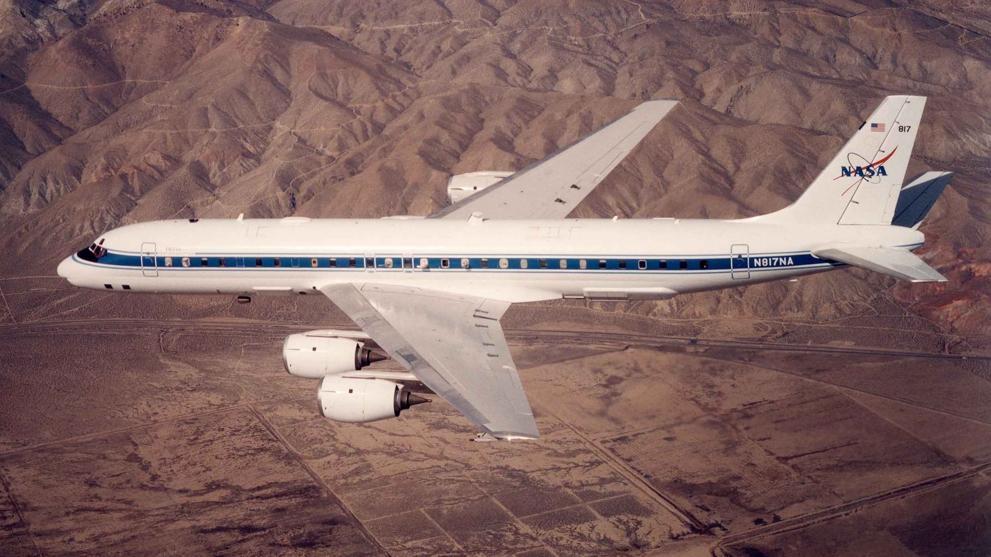
AIRSAR Data Added
NASA Airborne SAR (AIRSAR) data collection was added to the ASF DAAC for archive and distribution.
2006
A busy year!
ALOS Data Node
America's ALOS Data Node (AADN) was created in partnership with NOAA.
2006
A busy year!
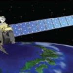
JAXA Satellite Launch
JAXA ALOS satellite successfully launched into space.
2006
Uplink completed
ASF's First Uplink
The first ASF uplink of a command file to an orbiting satellite was completed.
2003
Alaska SAR Facility renamed

Alaska SAR Facility renamed

The Alaska SAR Facility was renamed the Alaska Satellite Facility to be more descriptive and better reflect the extent of the facility and its services as a whole.
1997
RADARSAT-1 Antarctic Mapping
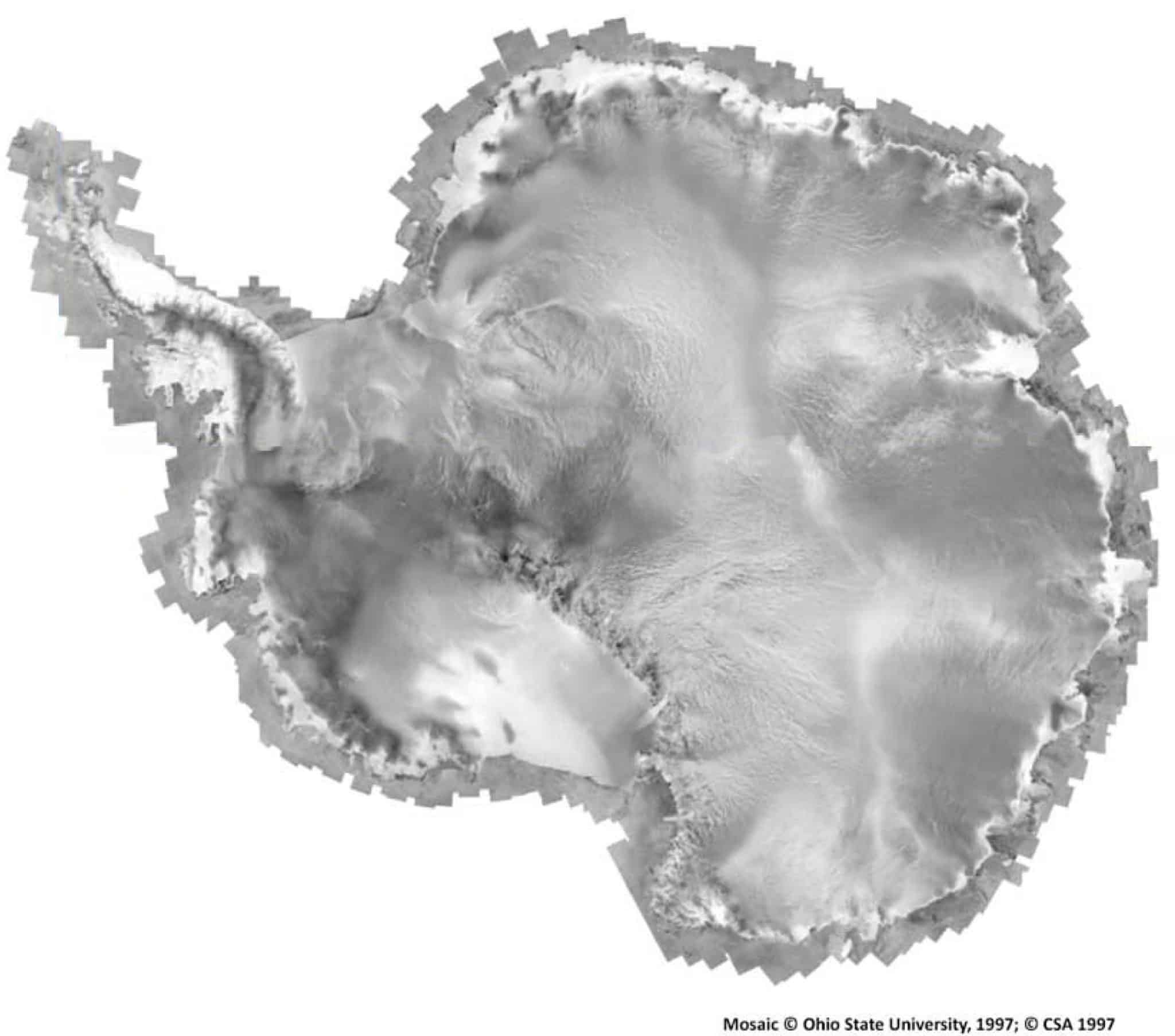
RADARSAT-1 Antarctic Mapping
The RADARSAT-1 Antarctic Mapping Mission 1 was completed. A tiled mosaic was created by the Ohio State University.
1995
Expanded
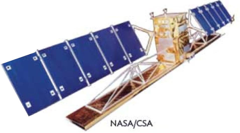
RADARSAT-1 data at ASF
ASF downlinks, processes, and distributes data from RADARSAT-1.
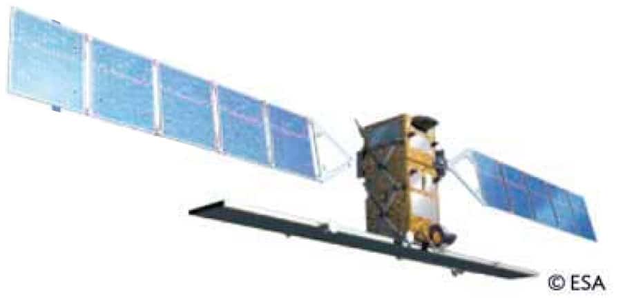
The 11-meter-tall NASA antenna was installed to support the Advanced Earth Observing Satellite (ADEOS-1) of the National Space Development Agency of Japan (NASCA)
1994
ASF DAAC created
ASF DAAC created
ASF Distributed Active Archive Center(DAAC) was created under contract with NASA
1991
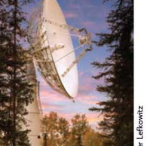
ASF's first antenna
ASF's first antenna
ASF's first antenna becomes operational and receives its first downlink from ERS-1
Wade Albright
Director, Alaska Satellite Facility
Paul Austin
ASF Ground Station Manager

Ian Dixon
ASF Engineering Manager

Rex Ellis
ASF IT Operations Manager

Kirk Hogenson
ASF Product Development Manager

Franz Meyer
ASF Chief Scientist

Suzy Nicolai
ASF Executive Business Manager