

ERS-2
Table of contents
Add a header to begin generating the table of contents
The ERS-2 mission phases are listed below. For more information on each phase, see the Delft University of Technology website, which retrieved the information originally from ESA/ESRIN.
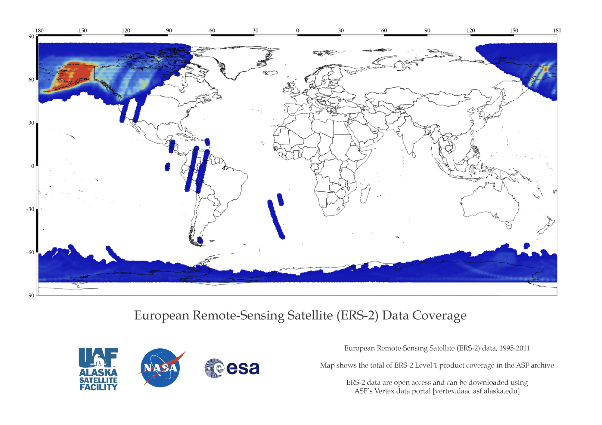
ESA ERS 2 Data Coverage Map
ERS 2 Missions
ERS-2 had one multi-disciplinary phase planned, but in early 2011, ESA changed the satellite orbit so SAR images of the Antarctic could be recorded with the same viewing angle every three days rather than every 35 days. For more information on the phase, see the Delft University of Technology website, which retrieved the information originally from ESA/ESRIN:
- ERS-2, 29-April-96 to 5-Sept-2011
ERS-2 Datasets and DOIs
| Dataset | DOI |
|---|---|
| L0_ERS-2 | 10.5067/4KVOYM7NQ19L |
| L1_ERS-2 | 10.5067/LTKR7EH03ZZL |