
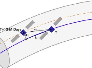
Thruster anomaly affects Sentinel-1 orbit control
An anomaly in a thruster used for Sentinel-1 orbit positioning control has resulted in the “orbit tube” diameter increasing from
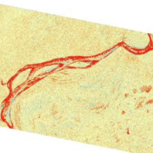
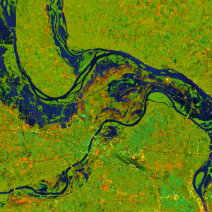
New StoryMap Tutorial: Change Detection using OPERA RTC-S1
This new tutorial demonstrates the process of using synthetic aperture radar (SAR) for visualizing changes in a landscape caused by

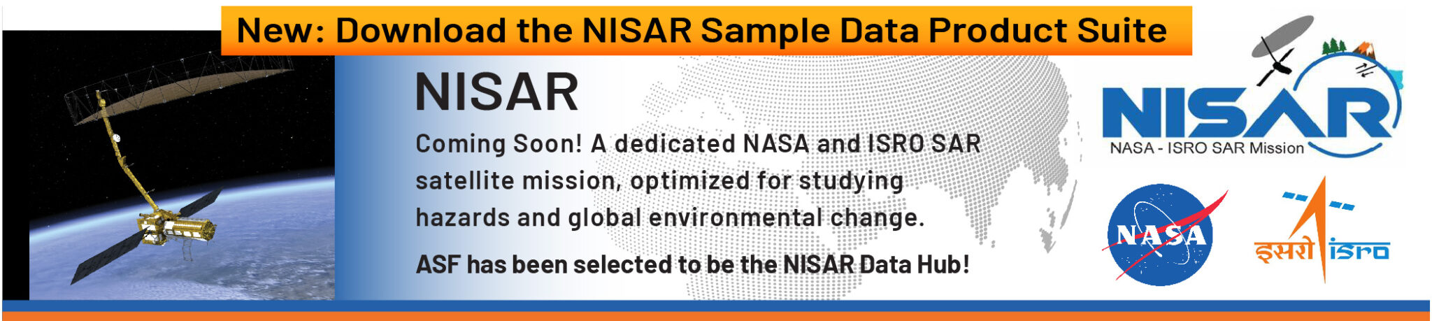
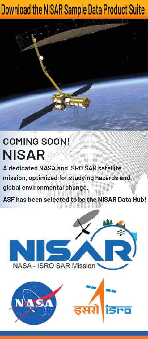
2024 ASF NISAR Early Adopters Workshop
The Alaska Satellite Facility (ASF), in collaboration with the NASA JPL NISAR Early Adopters Program, held a two-day workshop on
ARSET – SAR for Detecting and Monitoring Floods, Sea Ice, and Subsidence from Groundwater Extraction
A follow-on to the SAR training held in October 2022, which covered the detection and monitoring of oil spills, landslides,

Zhong Lu, Ph.D.
Zhong Lu has a story about Syun-Ichi Akasofu, the groundbreaking aurora scientist and former director of the University of Alaska Fairbanks Geophysical Institute. It’s

Zhong Lu, Ph.D.
Zhong Lu has a story about Syun-Ichi Akasofu, the groundbreaking aurora scientist and former director of the University of Alaska Fairbanks Geophysical Institute. It’s a