

The ARIA Sentinel-1 Geocoded Unwrapped Interferograms (ARIA S1 GUNW) are Level-2 interferometric products generated by the Jet Propulsion Lab (JPL) ARIA project. The creation, discovery, and distribution of these products support InSAR science around tectonically active regions, volcanoes, or areas of subsidence/uplift. These products of part of the Alaska Satellite Facility (ASF) long-term archive.
Products
The ARIA S1 GUNW interferograms are available as NetCDF-4 products. Detailed information is available in the product specifications document. The following layers are also available as standalone GeoTIFF products:
- Unwrapped phase
- Coherence
- Amplitude
- Connected components
Processor
Products were generated by the JPL ARIA project. Initial product formation and development was done under the Getting Ready for NISAR project using the Hybrid Science Data System (HySDS). Under ACCESS funding, the product was further refined with cloud orchestration using the ASF Hybrid Pluggable Processing Pipeline (HyP3) system. The processor uses the InSAR Scientific Computing Environment (ISCE) software package developed at JPL.
Get ARIA S1-GUNW Interferograms
Create an account with Earthdata Login
A NASA EOSDIS Earthdata Login account is required for downloading data from ASF.

Get ARIA S1-GUNW Interferograms using Vertex Data Search
ARIA Sentinel-1 GUNW Interferograms can be searched for and downloaded using Vertex Data Search. Select Sentinel-1 GUNW from the Dataset menu.

Get ARIA S1 GUNW Interferograms via Earthdata Search
ARIA S1 GUNW Interferograms can be searched for and downloaded using Earthdata Search. Type Sentinel-1 Inteferograms in the search bar. For help with using Earthdata Search, view How to Search using Earthdata Search.

Command Line Tools
There are several ways to search for, download, and process ARIA S1 GUNW interferograms for users comfortable working at the command line.

Search, download, and post-process ARIA S1-GUNW Interferograms using ARIA-tools
ARIA-tools is an open-source package in Python which contains tools to manipulate ARIA standard InSAR products. The ARIA-tools package includes functionality to crop/merge data and meta-data layers for multiple standard products, extraction of data and meta-data layers from these products, and the set-up and the preparation for time-series. ARIA-tools has Jupyter notebook examples with online records taught at UNAVCO.
Time-series processing is not supported in ARIA-tools. However, outputs are compatible with third-party time-series InSAR packages such as the Miami InSAR Time-series in Python (MintPy) open-source software.
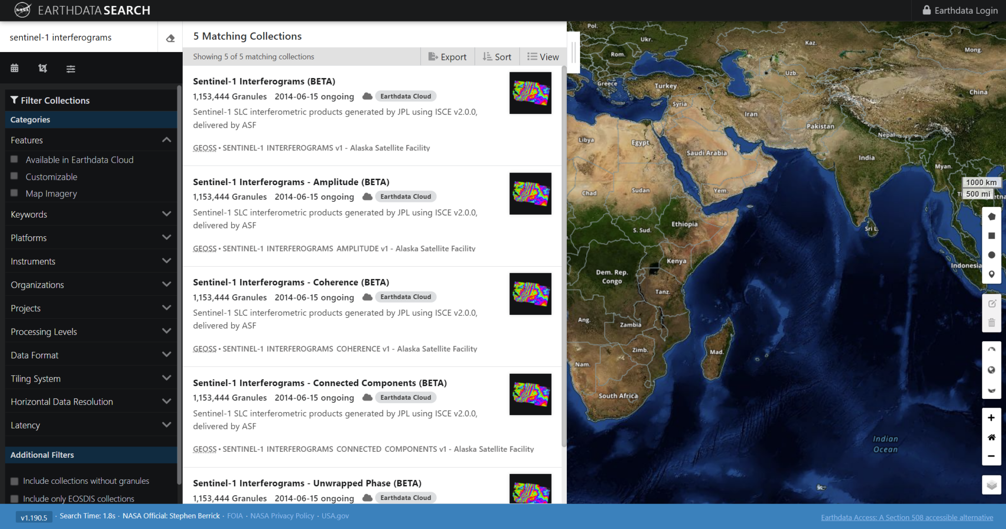
Search and download ARIA S1-GUNW Interferograms using the ASF Search API
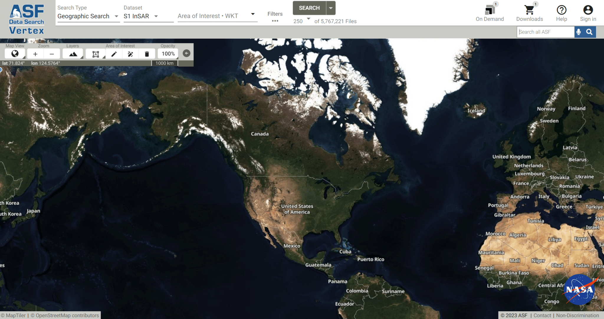
ARIA S1 GUNW Interferogram products are searchable using the ASF Search API. The API User Guide describes how to create searches and download the results.
S1-GUNW products can be searched using these values for the processingLevel keyword:
- GUNW_STD — Standard Product, NetCDF
- GUNW_AMP — Amplitude, GeoTIFF
- GUNW_COH — Coherence, GeoTIFF
- GUNW_CON — Connected Components, GeoTIFF
- GUNW_UNW — Unwrapped Phase, GeoTIFF
For example, this search returns a list of “Standard Product, NetCDF” products over Pasadena, CA since Jan 1, 2018:
To download:
In the above example, using the keyword and value output=download will create a Python script that can be run to download the product files found in the search.
Search for S1-GUNW Interferograms using the CMR Search API
Sentinel-1 Interferogram products are integrated with the ESDIS Common Metadata Repository (CMR) and are searchable via the CMR Search API. View the API Documentation for details and available search parameters.
Interferograms are most easily searched using these values for the collection_concept_id parameter:
- C1595422627-ASF — Standard Product, NetCDF
- C1596065640-ASF — Amplitude, GeoTIFF
- C1596065639-ASF — Coherence, GeoTIFF
- C1596065641-ASF — Connected Components, GeoTIFF
- C1595765183-ASF — Unwrapped Phase, GeoTIFF
For example, this search returns a list of “Standard Product, NetCDF” products over Pasadena, CA since Jan 1, 2018:
Download S1-GUNW Interferograms via cURL and Wget
How to Cite
When using these data in publications such as journal papers, articles, presentations, posters, and websites, please cite:
- Buzzanga, Brett, et al. “Toward sustained monitoring of subsidence at the coast using InSAR and GPS: An application in Hampton Roads, Virginia.” Geophysical Research Letters 47.18 (2020): e2020GL090013
When using these data as an image in a publication such as journal papers, articles, presentations, posters, and websites, please include the following credit with the image (portions in square brackets are optional).
Format | Example |
---|---|
Dataset: ARIA S1 GUNW, NASA [year of data acquisition]. Contains modified Copernicus Sentinel data, retrieved from ASF DAAC [day month year of data access] | Dataset: ARIA S1 GUNW, NASA 2003. Contains modified Copernicus Sentinel data, retrieved from ASF DAAC 7 June 2023 |