



SAR can be used to accurately measure forest structure and biomass density.
These data can be integrated into existing forest inventory systems which allows for the development of large-scale, accurate, and cost-efficient maps of forest biomass, productivity, and fuel load. Monitoring forests as critical renewable resources is vitally important as these systems come under increasing pressure from urban and agricultural development, drought, and fire.
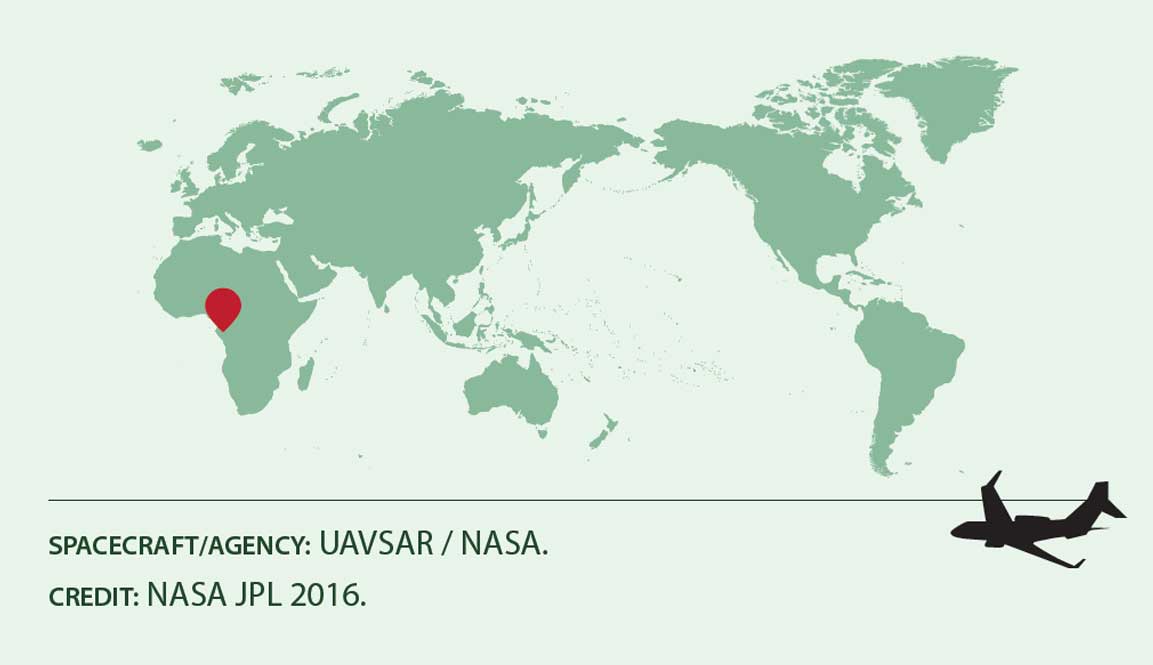
Aboveground Biomass
Location: Gabon, Libreville
Date(s): 2016
Spacecraft/Agency: UAVSAR / NASA.
Credit: NASA JPL 2016.
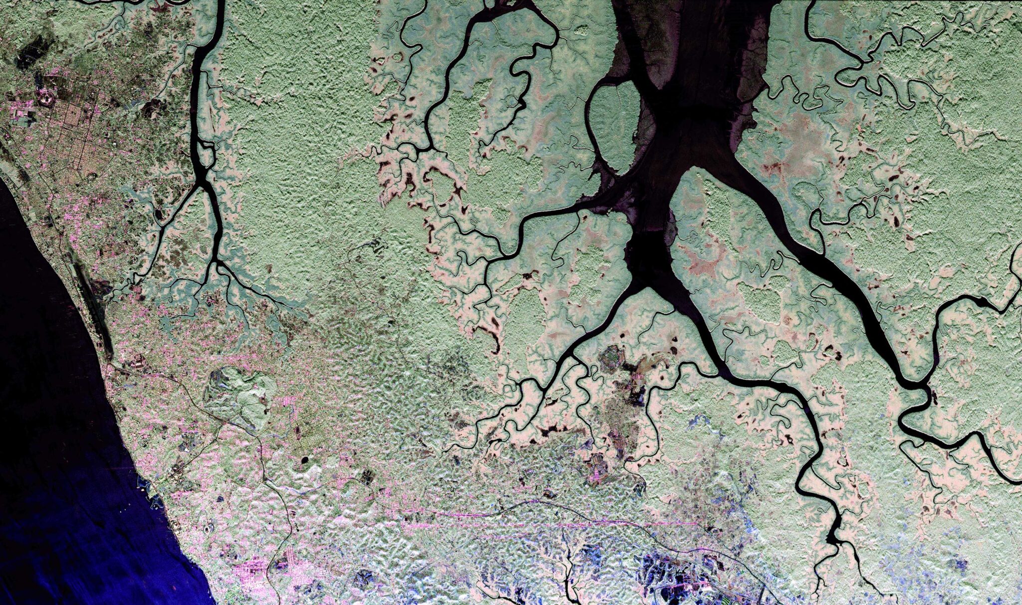
The UAVSAR AfriSAR campaign was part of an effort to estimate the aboveground biomass of the tropical forests of Gabon. Forest ecosystems play an important role in the global carbon cycle, but mapping them on a continental scale is difficult because of persistent cloud cover in some regions. SAR overcomes this, and in this UAVSAR Pauli decomposition, the capital of Gabon, Libreville, can be identified in the upper left by its grid of streets.
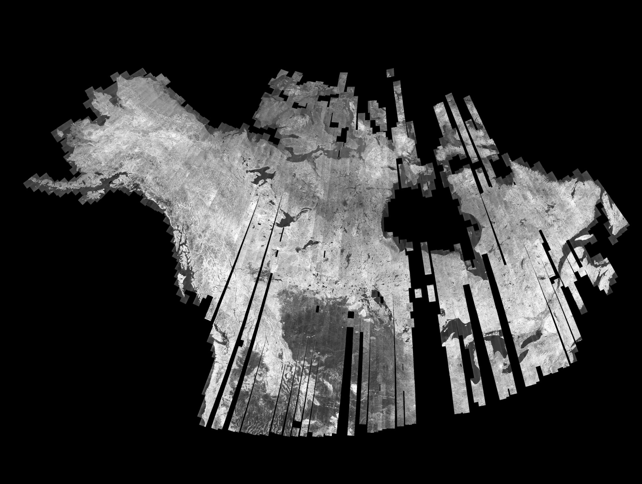
Boreal Forest
Location: North America
Date(s): 1992-1998
Spacecraft/Agency: JERS-1 / Japan Aerospace Exploration Agency (JAXA).
Credit: © NASDA/MITI 1992-1998.
The North American Boreal Forest Mapping Project utilized single-polarization L-band SAR imagery to create this mosaic of Canada and Alaska. This project complemented similar efforts that used JERS-1 imagery to create continental-scale mosaics of other forested regions around the world – Eurasia, Central and South America, Equatorial Africa, and Southeast Asia. Data processing for these projects was shared by ASF and JAXA (formerly NASDA).
An important objective of these efforts was to demonstrate the ability of L-band SAR to discern crucial seasonal processes across broad tropical and boreal landscapes. The mosaics and other derived products from the forest mapping projects were made available to the global scientific community and demonstrated the need for regular, systematic, continental- and regional-scale spaceborne observations of these important biomes.

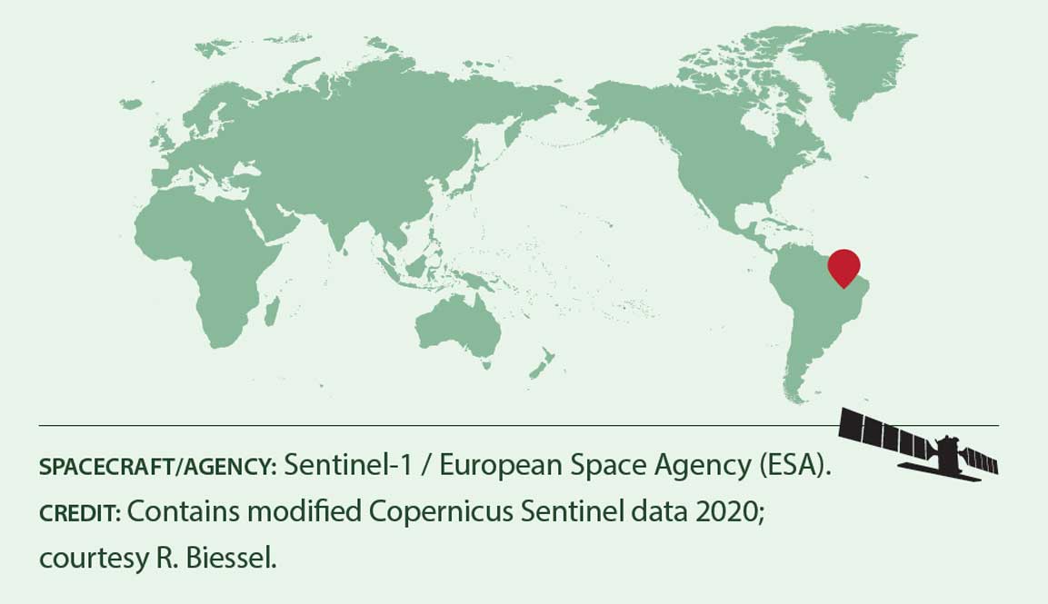
Pantanal Wetlands
Location: Brazil
Date(s): 2020
Spacecraft/Agency: Sentinel-1 / European Space Agency (ESA).
Credit: Contains modified Copernicus Sentinel data 2020; courtesy R. Biessel.
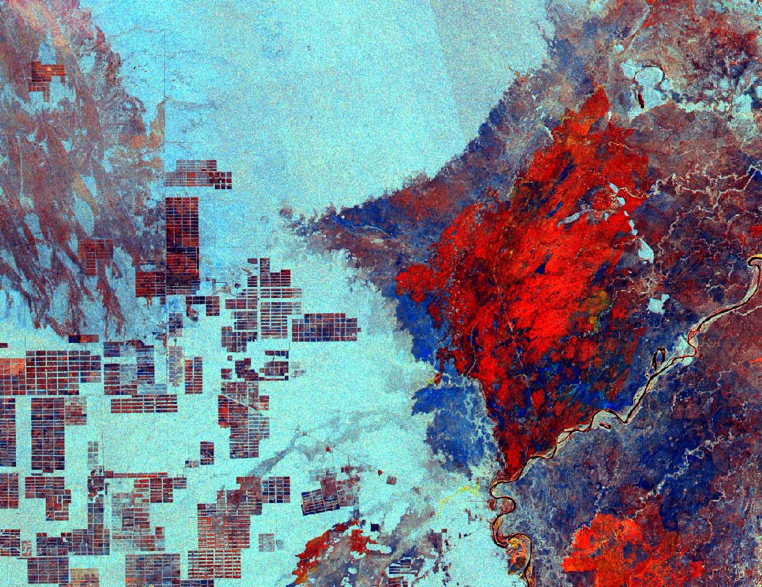
This multi-temporal Sentinel-1 RGB composite displays fire scars in the Pantanal Wetlands as shades of red while undisturbed forest appears light blue. The Pantanal is the world’s largest tropical wetland and one of the most biodiverse places on Earth. This region lies mostly within Brazil but extends into Bolivia and Paraguay. Farmland cleared from the forest is evident on the left side of the image. In 2020, roughly a quarter of the Pantanal wetland was burned in wildfires that were worsened by climate change and poor management.