







SAR observations are useful for monitoring permafrost changes in the Arctic because SAR can image regardless of weather conditions and during periods of winter darkness.
By comparing SAR images over time, scientists can detect surface subsidence or upheaval, indicating permafrost freeze-thaw cycles. InSAR (Interferometric SAR) can be used to create precise deformation maps, enabling measurement of surface changes with millimeter accuracy. These data aid in understanding permafrost dynamics, assessing the impact of climate change, and predicting infrastructure vulnerabilities.
Thermokarst Lakes
Location: Kolyma River Delta, Siberia
Date(s): 2021
Spacecraft/Agency: Sentinel-1 / European Space Agency (ESA).
Credit: Contains modified Copernicus Sentinel data 2021; courtesy R. Biessel.
This Sentinel-1 RGB image is of an area near the Kolyma River Delta, where it empties into the East Siberian Sea. Evident is sea ice on the right and thermokarst lakes on the left – bodies of freshwater formed by thawing permafrost. These lakes become a source of greenhouse gases as permafrost thaws and carbon dioxide and methane, formed from ancient carbon previously trapped in the frozen soils, are released. An increasing contribution of these gases from thermokarst lakes is predicted as climate change accelerates permafrost melt.


A Confusion of Ponds
A Confusion of Ponds
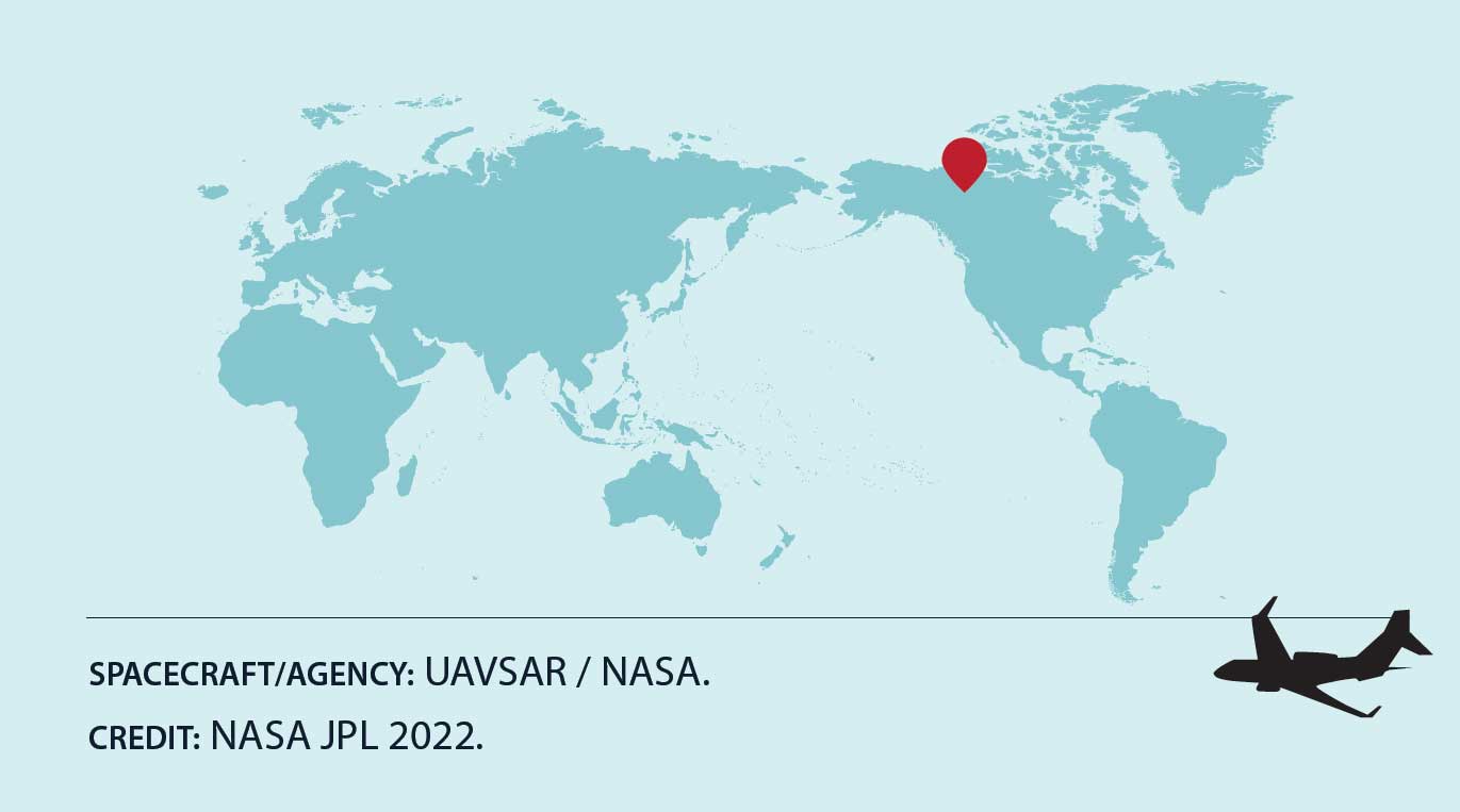
Location: McKenzie River Delta, Canada
Date(s): 2022
Spacecraft/Agency: UAVSAR / NASA
Credit: NASA JPL 2022.
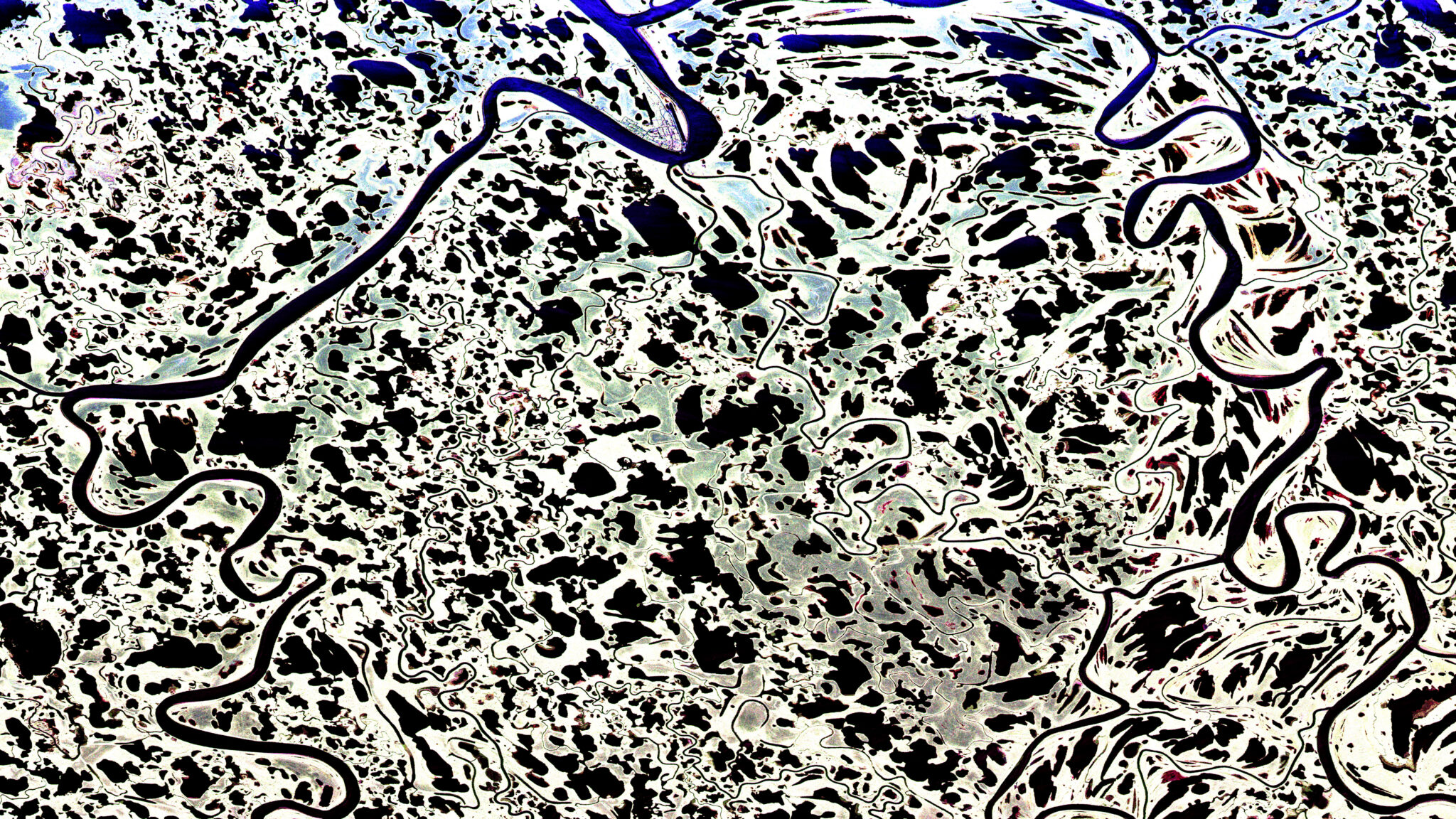
At the top center of this UAVSAR image is the village of Aklavik, located on a bend of the Peel Channel in the McKenzie River Delta, Canada. Surrounded by a confusion of ponds and river channels, Aklavik was once the transportation, commercial, and administrative capital of the western Arctic. The image is from the NASA Arctic-Boreal Vulnerability Experiment (ABoVE) airborne campaign, where L-band SAR is used with ground measurements to model environmental changes. Variables being monitored include permafrost active layer thickness, soil moisture, wetland inundation, burned area extent, and forest biomass.
Prevailing Winds
Location: North Slope, Alaska
Date(s): 2007
Spacecraft/Agency: ALOS / Japan Aerospace Exploration Agency (JAXA).
Credit: © JAXA 2007.
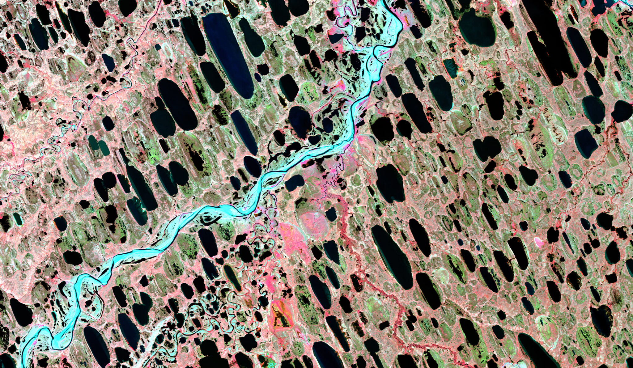
Lakes dot the landscape on Alaska’s North Slope in this AVNIR-2 image. The oblong shapes of these lakes are formed over time by the prevailing winds pushing the water and eroding the downwind shore. Filled with melting snow and surface ice, the lakes are kept from draining by an underlying layer of permafrost. However, as the Arctic climate warms, thawing permafrost allows the ground to become permeable and creates channels that allow the lakes to drain. The disappearance of these freshwater lakes could profoundly affect local communities and migratory bird habitats.