RADARSAT-1 Antarctic Mapping Project (RAMP)
Table of contents
Add a header to begin generating the table of contents
AMM-1
Mission One Plans
The SPA file is modified to allow for right looking acquisitions.
AMM_final are export files detailing the prenominal and nominal missions. These can be imported into ARC.
Interferometric SAR (InSAR) and nom_c1 include export files and html files. The latter can be read into the SPA. The number 8 suffix indicates the time automatically added by CSA to the start and end of an acquisition request.
- SPA Program Adapted for use with AMM Mission Lists
- Nominal data for AMM Mission Lists
- Insar data for AMM Mission Lists
- Final copies of the AMM Mission Lists
Documentation
- AMM Version 2.1 Radiometry
- Frameskey for Radiometry Correction (.tar folder download)
- AMM-1 Radiometry Verification
- Method used to Convert the 16-bit Amplitude Data to 8-bit
- ASF Document Outlining Calibration Procedure
- Calibration Error Spreadsheet (.xls file download)
- South Pole Deployment of an Active Radar Calibrator (ARC).
- AMM-1 Radiometry Validation
- AMM-1 Science Requirements Document
- Detailed Information on dB Conversion and Validation Reference Data in /amm_v2/TILES_dB
- Evaluation on Averaging Scheme used to Create Lower Resolution Tiers for the Sigma0 Data.
- Gives the Amplitude Equation and an Explanation on How it was used in AMM-1 and MAMM Processing
- Detailed Information on Final Tile Products and Validation Reference Data in /amm_v2/TILES
- Description of the RAMP Project
- A Comparison Document of AMM-1, MAMM_Ascending, MAMM_Descending Sigma0 Datasets using Global and Local Statistics.
MAMM (AMM-2) Documentation
Mission 2 plans
- Final Report: Modified Antarctic Mapping Mission (MAMM) Acquisition Plan: a detailed description of the development of the acquisition sequence for the RADARSAT spacecraft used to conduct the MAMM mission.
- The RadarSAT-MAMM Automated Mission Planner: documentation of the results of the automated mission planner effort that were presented at a conference on artificial intelligence in Seattle, Washington.
- Final MAMM Plans: A directory containing the user request files i.e., the RADARSAT-1 program name for the files containing the requested data acquisitions for all three MAMM cycles.
- MAMM SPA: A directory containing an automated mission planning tool developed at JPL and used to help analyze candidate acquisition plans for compliance with various mission constraints.
- MAMM SPA export: Two export files; one for ascending coverage and the other for descending coverage.
Mini Mosaics
Validation
Geolocation Checks
- Comparison with Coast, 25 m Data
- Comparison with Coast, 100 m Data
- Interior Features 25 m Data
- Interior Features 100 m Data
- Method used to Convert the 16-bit Amplitude Data to 8-bit for the Ascending Data
- Method used to Convert the 16-bit Amplitude Data to 8-bit for the Descending Data
- Map of Problematic Bandwidth Values for Ascending IFR Pairs
- Map of Problematic Baseline Values for Ascending IFR Pairs
- Ascending Geometry Evaluation at 25 m for Coastal Regions
- Comparison with AMM-1 1997 Coastline in Rocky or Stable Areas
- Overview Document on Ascending Geometry Evaluation and Validation
- Ascending Geometry Evaluation at 100 m for Interior Regions
- Ascending Geometry Evaluation at 25 m for Interior Regions
- Interacting Map of Radiometric Artifacts Executable on any Device with Internet Access
- Centroids and Values for Bandwidth and Baseline for Ascending and Descending IFR Pairs (several spreadsheets embedded)
- Histograms of Bandwidth and Baseline for Ascending and Descending IFR Pairs
- Short Document on Ascending Coherence Mosaics
- Short Document on Descending Coherence Mosaics
- Validation of Coherence Products
- Procedure Manual for Creation of Smoothed Coherence Mosaics
- Map of Problematic Bandwidth Values for Descending IFR Pairs
- Map of Problematic Baseline Values for Descending IFR Pairs
- Validation of Final Tile Products
- ASF Document Outlining Calibration Effort
- ASF Document Outlining Processing System
- ASF Document Outlining SLC Production and Final Product Distribution
- ASF Document Outlining Test Plans and Procedures for the MAMM Mission
- ASF Document Outlining Satellite Operations Plan
- Agreement Document Between CSA and NASA using RADARSAT-1 for an Interferometric Mission
- JPL Project Agreement
- Level 1 Product Validation Documentation
- MAMM Science Requirements Document
- Vexcel Corp. Functional Requirements Document for RADARSAT Antarctic Mapping System-2
- Documentation of the Geometric Offset Adjustment made to the 10 m Mini-Mosaic Data
- Description of the RADARSAT-1 Antarctic Mapping Project
- A Comparison Document of AMM-1, MAMM_Ascending, MAMM_Descending Sigma0 Datasets using Global and Local Statistics
- Document Outlining MAMM Ascending and Descending Backscatter Product Creation
- Validation of Velocity Products
Presentations
RAMP Media
The following table contains links to short animations created with RAMP data.
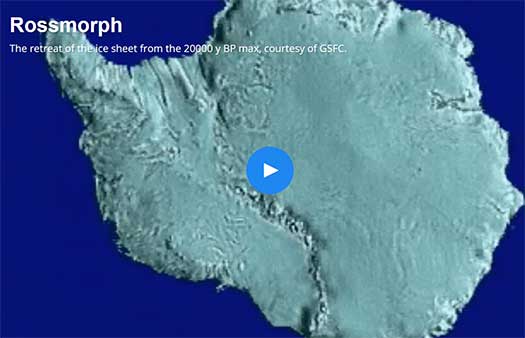
- Rossmorph
- Larsen Ice Shelf
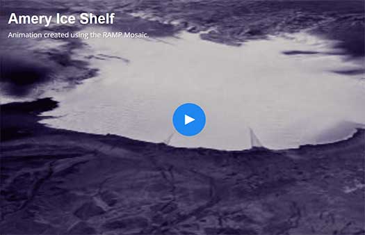
- Amery Ice Shelf
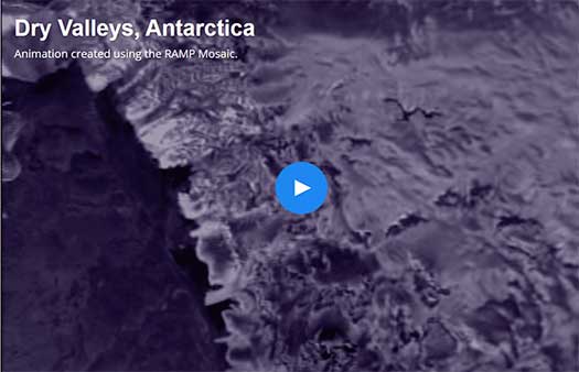
- Dry Valleys, Antarctica
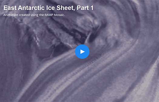
- East Antarctic Ice Sheet, Part 1
- East Antarctic Ice Sheet, Part 2
- Fimbul Ice Shelf
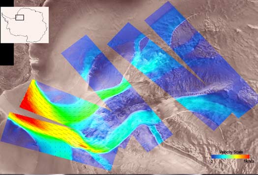
- Lambert Glacier
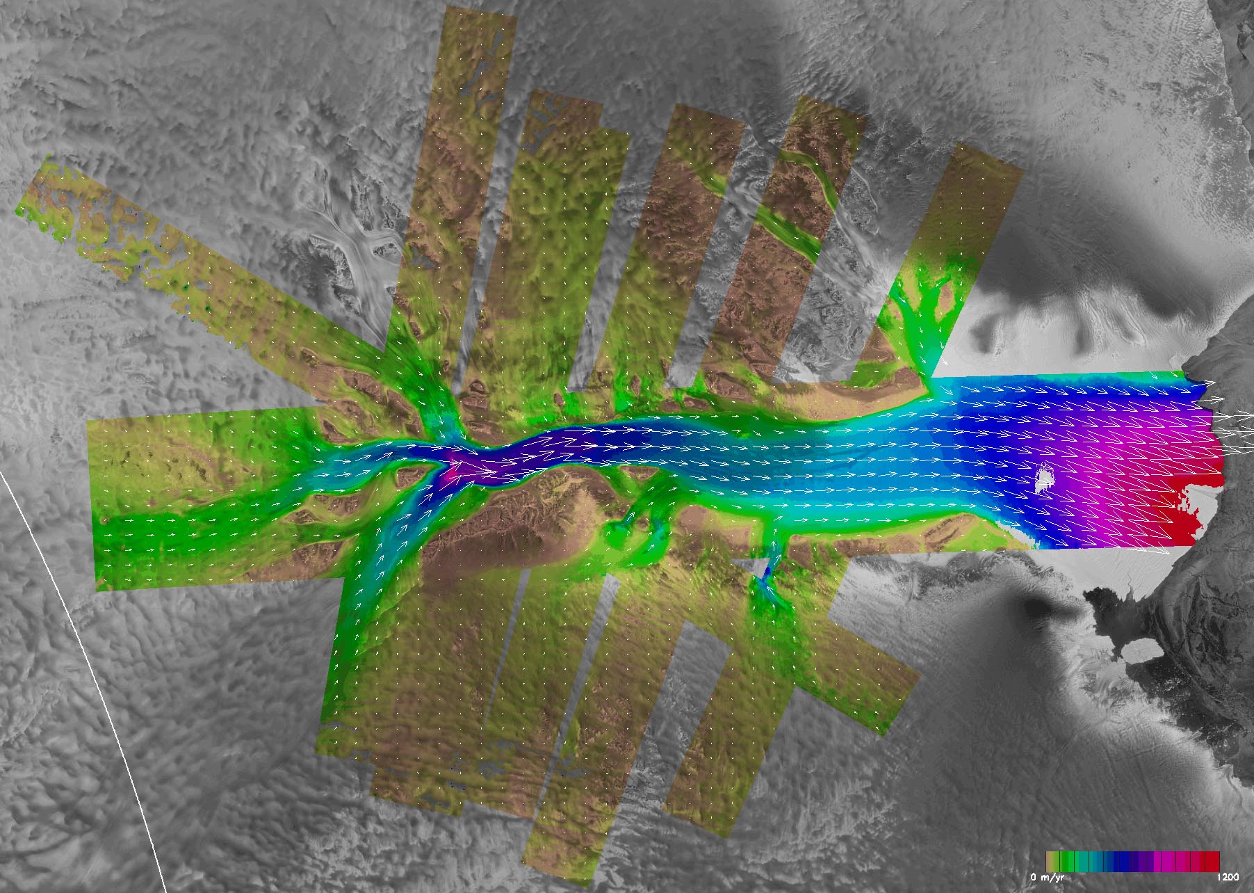
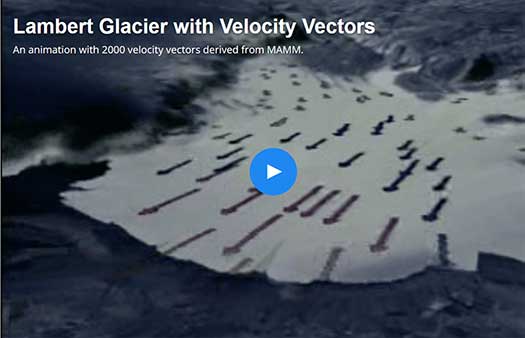
- ambert Glacier with Velocity Vectors
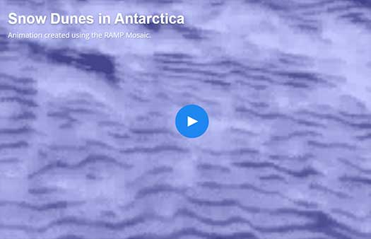
- Snow Dunes in Antarctica
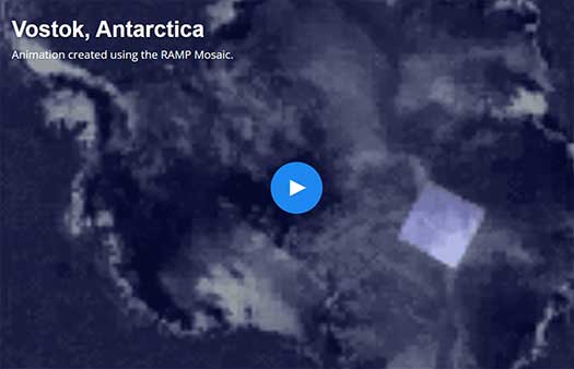
- Vostok, Antarctica
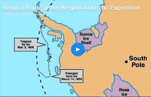
- Belgica Route in the Belgian Antarctic Expedition
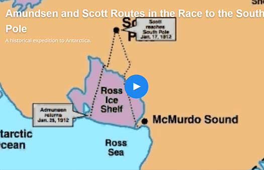
- Amundsen and Scott Routes in the Race to the South Pole
- Amundsen Route in the Race to the South Pole
- Scott Route in the Race to the South Pole


