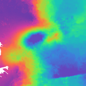
Learn how to use an AWS EC2 instance to run the GMT5SAR InSAR data recipe….
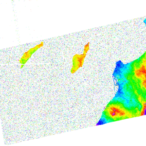
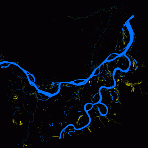
How to Map Regional Inundation with Spaceborne L-band SAR using ArcGIS
Learn more about mapping regional inundation using spaceborne L-band SAR data and ArcGIS with this Alaska Satellite Facility Data Recipe….
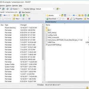
How to Move files in and out of an AWS EC2 Instance – Windows
Learn more about moving files in and out of an AWS Elastic Compute Cloud instance on Windows with this Alaska Satellite Facility Data Recipe….
How to Phase Unwrap an Interferogram
Learn more about phase unwrapping interferograms using the European Space Agency’s Sentinel-1 Toolbox with this Alaska Satellite Facility Data Recipe….
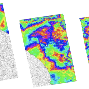
How to Create and Unwrap an Interferogram with GMT5SAR Script in the Cloud — Windows
Learn more about creating and unwrapping interferograms using free GMT5SAR software on Windows with this Alaska Satellite Facility Data Recipe….
How to Create and Unwrap an Interferogram with GMT5SAR Script in the Cloud — OS X
Learn more about creating and unwrapping interferograms using free GMT5SAR software on Mac OS X with this Alaska Satellite Facility Data Recipe….
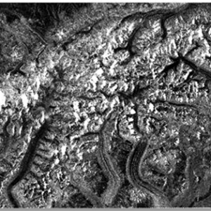
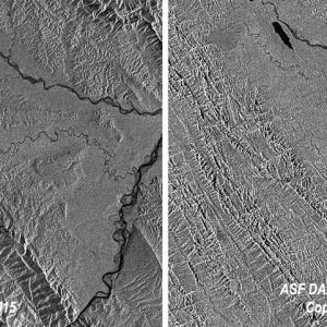
How to View Radiometrically Terrain-Corrected (RTC) Images in QGIS
Learn more about viewing radiometrically terrain-corrected images using QGIS with this Alaska Satellite Facility Data Recipe….
How to View and Geocode CEOS Data in ASF MapReady
Learn more about viewing and geocoding CEOS-format data using ASF MapReady with this Alaska Satellite Facility Data Recipe….
How to Terrain-Correct CEOS Data
Learn more about terrain-correcting CEOS-format data using the Ulander algorithm with this Alaska Satellite Facility Data Recipe….
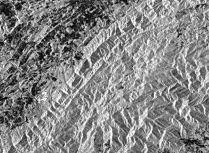
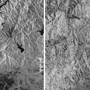
How to Radiometrically Terrain-Correct (RTC) Sentinel-1 Data Using the ESA Toolbox
Learn more about radiometrically terrain-correcting Sentinel-1 data using ESA’s Sentinel-1 Toolbox with this Alaska Satellite Facility Data Recipe….