Category: Data Recipes

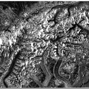
How to View Radiometrically Terrain-Corrected (RTC) Images in QGIS
February 23, 2024
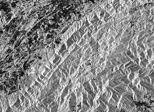
How to View and Geocode CEOS Data in ASF MapReady
January 12, 2023
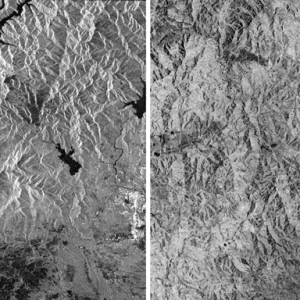
How to Terrain-Correct CEOS Data
February 23, 2024
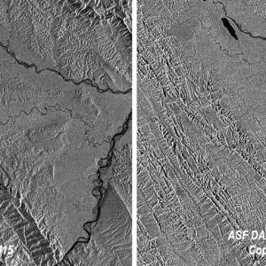

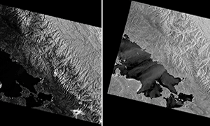
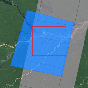
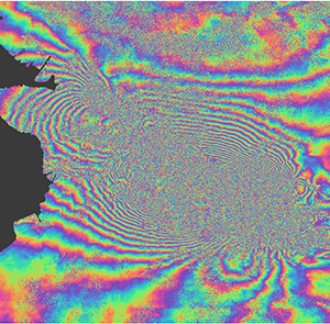
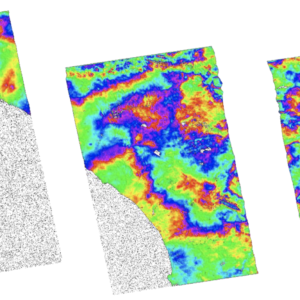
How to Create an Interferogram Using ESA’s Sentinel-1 Toolbox
January 13, 2023
