
RADARSAT-1 was equipped with synthetic aperture radar (SAR), which enabled the satellite to capture high-resolution Earth imagery day and night regardless of weather conditions. The satellite covered the Earth every 24 days which allowed interferometric analysis. Functioning at C-band (5.3 GHz frequency), RADARSAT-1 was able to direct its radar beam at different angles in the right-side direction. Additional maneuvering of the satellite itself resulted in its invaluable ability to look left, increasing the number of available target locations. These features made RADARSAT-1 a well-matched satellite for the Antarctic Mapping missions.
AMM-1 started on September 9, 1997 and was completed on October 20, 1997. Its goals were to acquire a complete map of Antarctica and better understand the relationships between the southernmost continent’s environmental elements. As Antarctica’s inhospitable environment had limited the success of previous mapping endeavors, this mission’s data and imagery would prove to be a vital baseline to contrast against the data of future missions.
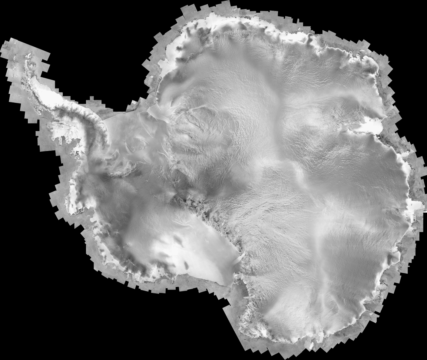
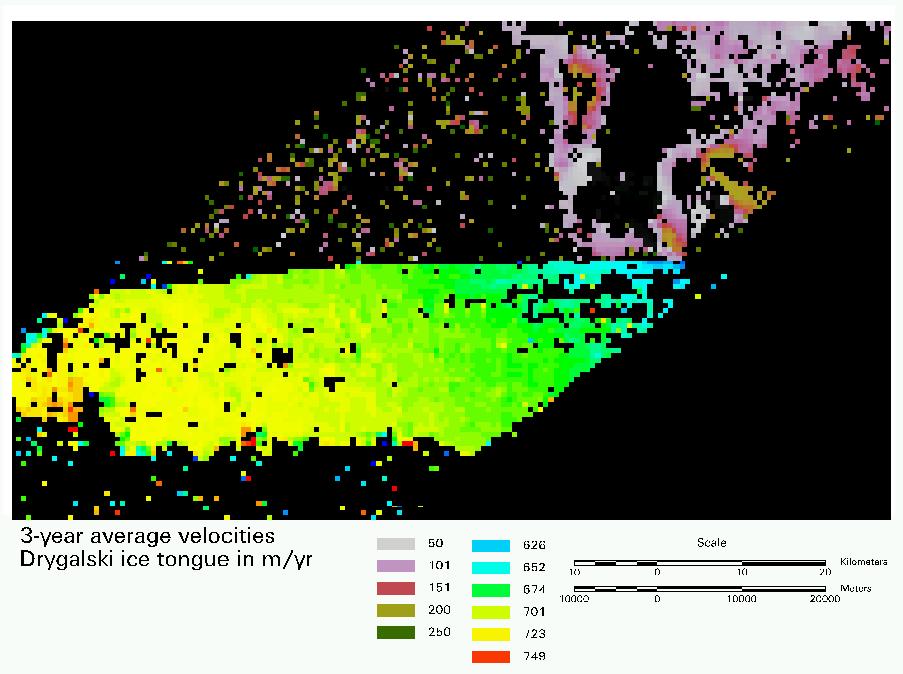
Using the right- and left-looking abilities of RADARSAT-1, a mosaic map of Antarctica at 25 m resolution was created. The map displayed Antarctica’s geological features through variations in radar brightness and texture, including ice streams. Ice velocity vectors were compiled using AMM-1 data to measure ice sheet movement over ice streams.
MAMM began three years after AMM-1 ended, starting on September 3, 2000 and ending on November 17, 2000. It planned to remap Antarctica and measure ice velocity data using interferometric analysis and data from AMM-1. In the three years’ difference between the two main Antarctic Mapping Missions, ice sheet advance and retreat could be observed and better evaluated as episodic change or regional climate change.
The Alaska Satellite Facility (ASF) processed AMM-1 and MAMM data into images, which The Ohio State University converted into maps and velocity fields using Vexcel Corporation software. Additional participants include the Jet Propulsion Lab (JPL) and other scientific advisors.
| Video | Video |
|---|---|
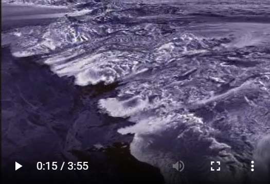
| View on Youtube: “Antarctica – A Flying Tour of the Frozen Continent” with sound | Embedded video “Antarctica – A Flying Tour of the Frozen Continent”with sound |
 |  |
| From NASA and the Canadian Space Agency (CSA). | |
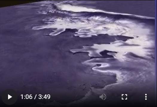
| Fly-over video without sound | Fly-over video without text or sound |
 |  |
| Image | Image |
 | 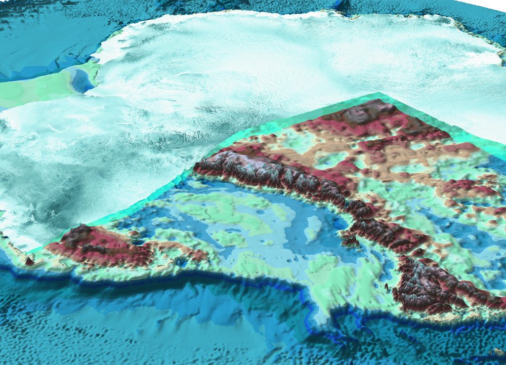 |
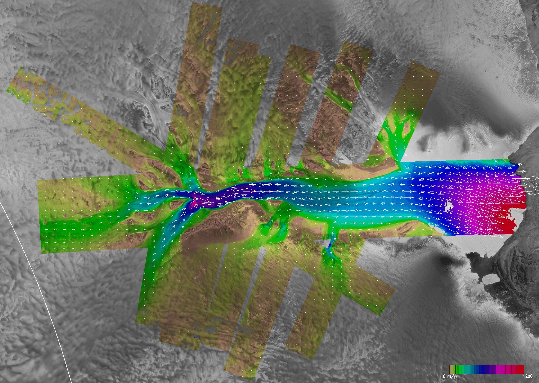
| Surface velocity mosaic of the east Antarctic Ice Streams. The speed is encoded as hue and SAR is encoded as intensity in the HSV color model. The upstream velocity of the Recovery Glacier is about 100 meters/year (light blue areas). Near the grounding line, there is a local peak velocity of about 900 meters/year (yellow and red areas). ©Zhiyuan Zhao | A cutaway image of Antarctica showing the continent under its ice. ©National Geographic 2002 |
| Video | Video |
|---|---|
| View on Youtube: “Antarctica – A Flying Tour of the Frozen Continent” with sound | Embedded video “Antarctica – A Flying Tour of the Frozen Continent”with sound |
| |
| From NASA and the Canadian Space Agency (CSA). | |
| Fly-over video without sound | Fly-over video without text or sound |
| |
| Image | Image |
| |
| Surface velocity mosaic of the east Antarctic Ice Streams. The speed is encoded as hue and SAR is encoded as intensity in the HSV color model. The upstream velocity of the Recovery Glacier is about 100 meters/year (light blue areas). Near the grounding line, there is a local peak velocity of about 900 meters/year (yellow and red areas). ©Zhiyuan Zhao | A cutaway image of Antarctica showing the continent under its ice. ©National Geographic 2002 |
The SPA file is modified to allow for right looking acquisitions.
AMM_final are export files detailing the prenominal and nominal missions. These can be imported into ARC.
Interferometric SAR (InSAR) and nom_c1 include export files and html files. The latter can be read into the SPA. The number 8 suffix indicates the time automatically added by CSA to the start and end of an acquisition request.
- SPA Program Adapted for use with AMM Mission Lists
- Nominal data for AMM Mission Lists
- Insar data for AMM Mission Lists
- Final copies of the AMM Mission Lists
Documentation
- AMM Version 2.1 Radiometry
- Frameskey for Radiometry Correction (.tar folder download)
- AMM-1 Radiometry Verification
- Method used to Convert the 16-bit Amplitude Data to 8-bit
- ASF Document Outlining Calibration Procedure
- Calibration Error Spreadsheet (.xls file download)
- South Pole Deployment of an Active Radar Calibrator (ARC).
- AMM-1 Radiometry Validation
- AMM-1 Science Requirements Document
- Detailed Information on dB Conversion and Validation Reference Data in /amm_v2/TILES_dB
- Evaluation on Averaging Scheme used to Create Lower Resolution Tiers for the Sigma0 Data.
- Gives the Amplitude Equation and an Explanation on How it was used in AMM-1 and MAMM Processing
- Detailed Information on Final Tile Products and Validation Reference Data in /amm_v2/TILES
- Description of the RAMP Project
- A Comparison Document of AMM-1, MAMM_Ascending, MAMM_Descending Sigma0 Datasets using Global and Local Statistics.
| Imagery | Imagery |
|---|---|
| Click thumbnail below to enlarge. | Click thumbnail below to enlarge. |
 |  |
Mission 2 plans
- Final Report: Modified Antarctic Mapping Mission (MAMM) Acquisition Plan: a detailed description of the development of the acquisition sequence for the RADARSAT spacecraft used to conduct the MAMM mission.
- The RadarSAT-MAMM Automated Mission Planner: documentation of the results of the automated mission planner effort presented at an artificial intelligence conference in Seattle, Washington.
- Final MAMM Plans: A directory containing the user request files i.e., the RADARSAT-1 program name for the files containing the requested data acquisitions for all three MAMM cycles.
- MAMM SPA: A directory containing an automated mission planning tool developed at JPL and used to help analyze candidate acquisition plans for compliance with various mission constraints.
- MAMM SPA export: Two export files; one for ascending coverage and the other for descending coverage.
Mini Mosaics
Validation
Geolocation Checks
- Comparison with Coast, 25 m Data
- Comparison with Coast, 100 m Data
- Interior Features 25 m Data
- Interior Features 100 m Data
- Method used to Convert the 16-bit Amplitude Data to 8-bit for the Ascending Data
- Method used to Convert the 16-bit Amplitude Data to 8-bit for the Descending Data
- Map of Problematic Bandwidth Values for Ascending IFR Pairs
- Map of Problematic Baseline Values for Ascending IFR Pairs
- Ascending Geometry Evaluation at 25 m for Coastal Regions
- Comparison with AMM-1 1997 Coastline in Rocky or Stable Areas
- Overview Document on Ascending Geometry Evaluation and Validation
- Ascending Geometry Evaluation at 100 m for Interior Regions
- Ascending Geometry Evaluation at 25 m for Interior Regions
- Interacting Map of Radiometric Artifacts Executable on any Device with Internet Access
- Centroids and Values for Bandwidth and Baseline for Ascending and Descending IFR Pairs (several spreadsheets embedded)
- Histograms of Bandwidth and Baseline for Ascending and Descending IFR Pairs
- Short Document on Ascending Coherence Mosaics
- Short Document on Descending Coherence Mosaics
- Validation of Coherence Products
- Procedure Manual for Creation of Smoothed Coherence Mosaics
- Map of Problematic Bandwidth Values for Descending IFR Pairs
- Map of Problematic Baseline Values for Descending IFR Pairs
- Validation of Final Tile Products
- ASF Document Outlining Calibration Effort
- ASF Document Outlining Processing System
- ASF Document Outlining SLC Production and Final Product Distribution
- ASF Document Outlining Test Plans and Procedures for the MAMM Mission
- ASF Document Outlining Satellite Operations Plan
- Agreement Document Between CSA and NASA using RADARSAT-1 for an Interferometric Mission
- JPL Project Agreement
- Level 1 Product Validation Documentation
- MAMM Science Requirements Document
- Vexcel Corp. Functional Requirements Document for RADARSAT Antarctic Mapping System-2
- Documentation of the Geometric Offset Adjustment made to the 10 m Mini-Mosaic Data
- Description of the RADARSAT-1 Antarctic Mapping Project
- A Comparison Document of AMM-1, MAMM_Ascending, MAMM_Descending Sigma0 Datasets using Global and Local Statistics
- Document Outlining MAMM Ascending and Descending Backscatter Product Creation
- Validation of Velocity Products
Presentations
The following table contains links to short animations created with RAMP data.
- Rossmorph
- Larsen Ice Shelf
- Amery Ice Shelf
- Dry Valleys, Antarctica
- East Antarctic Ice Sheet, Part 1
- East Antarctic Ice Sheet, Part 2
- Fimbul Ice Shelf
- Lambert Glacier
- ambert Glacier with Velocity Vectors
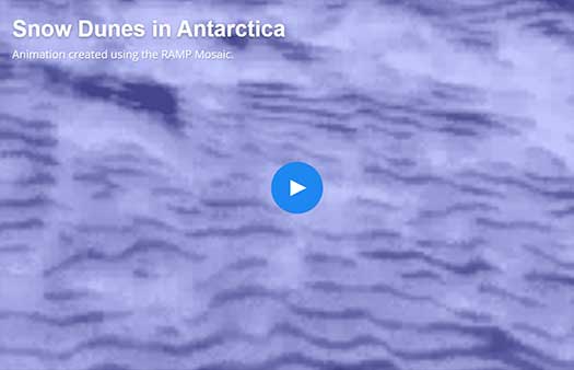
- Snow Dunes in Antarctica
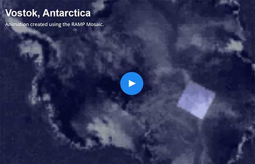
- Vostok, Antarctica
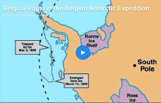
- Belgica Route in the Belgian Antarctic Expedition
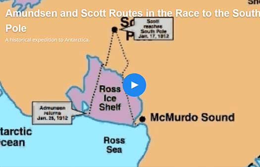
- Amundsen and Scott Routes in the Race to the South Pole
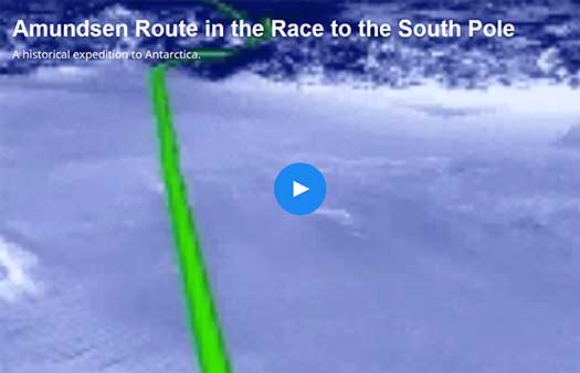
- Amundsen Route in the Race to the South Pole
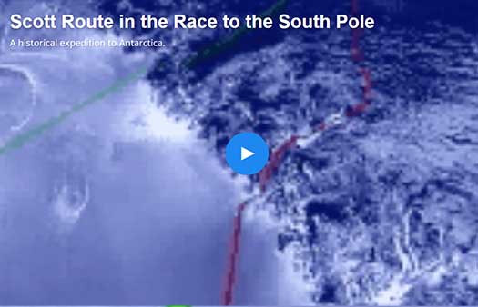
- Scott Route in the Race to the South Pole
| Video | Video |
|---|---|
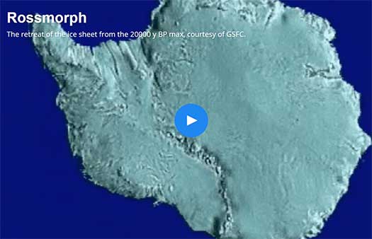
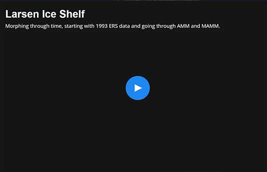
| Rossmorph The retreat of the ice sheet from the 20000 y BP max, courtesy of GSFC. | Larsen Ice Shelf Morphing through time, starting with 1993 ERS data and going through AMM and MAMM. |
|
|
| Amery Ice Shelf, Animation created using the RAMP Mosaic. | Dry Valleys, Antarctica Animation created using the RAMP Mosaic. |
 |  |
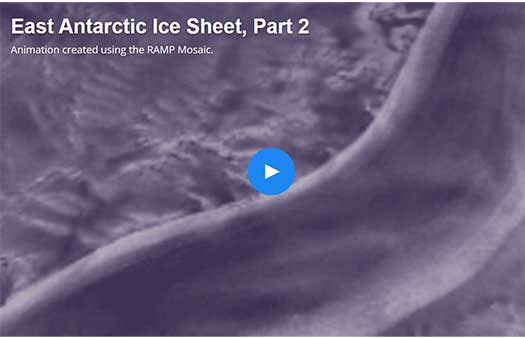
| East Antarctic Ice Sheet, Part 1 Animation created using the RAMP Mosaic. | East Antarctic Ice Sheet, Part 2 Animation created using the RAMP Mosaic. |
 |  |
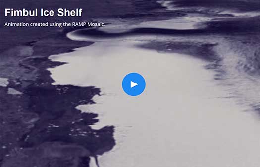
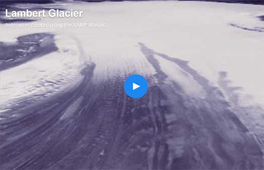
| Fimbul Ice Shelf Animation created using the RAMP Mosaic. | Lambert Glacier Animation created using the RAMP Mosaic. |
 |  |
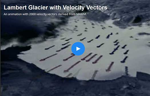
| Lambert Glacier with Velocity Vectors An animation with 2000 velocity vectors derived from MAMM. | Snow Dunes in Antarctica Animation created using the RAMP Mosaic. |
 |  |
| Vostok, Antarctica Animation created using the RAMP Mosaic. | Belgica Route in the Belgian Antarctic Expedition A historical expedition to Antarctica. |
 |  |
| Amundsen and Scott Routes in the Race to the South Pole A historical expedition to Antarctica. | Amundsen Route in the Race to the South Pole A historical expedition to Antarctica. |
 |  |
| Scott Route in the Race to the South Pole A historical expedition to Antarctica. | |
 | |